File:Chartres_-_south_portal_-_central_bay_-_tympan.jpg
From Wikipedia, the free encyclopedia
Original file (2,560 × 1,440 pixels, file size: 2.28 MB, MIME type: image/jpeg)
| This is a file from the Wikimedia Commons. Information from its description page there is shown below. Commons is a freely licensed media file repository. You can help. |
Summary
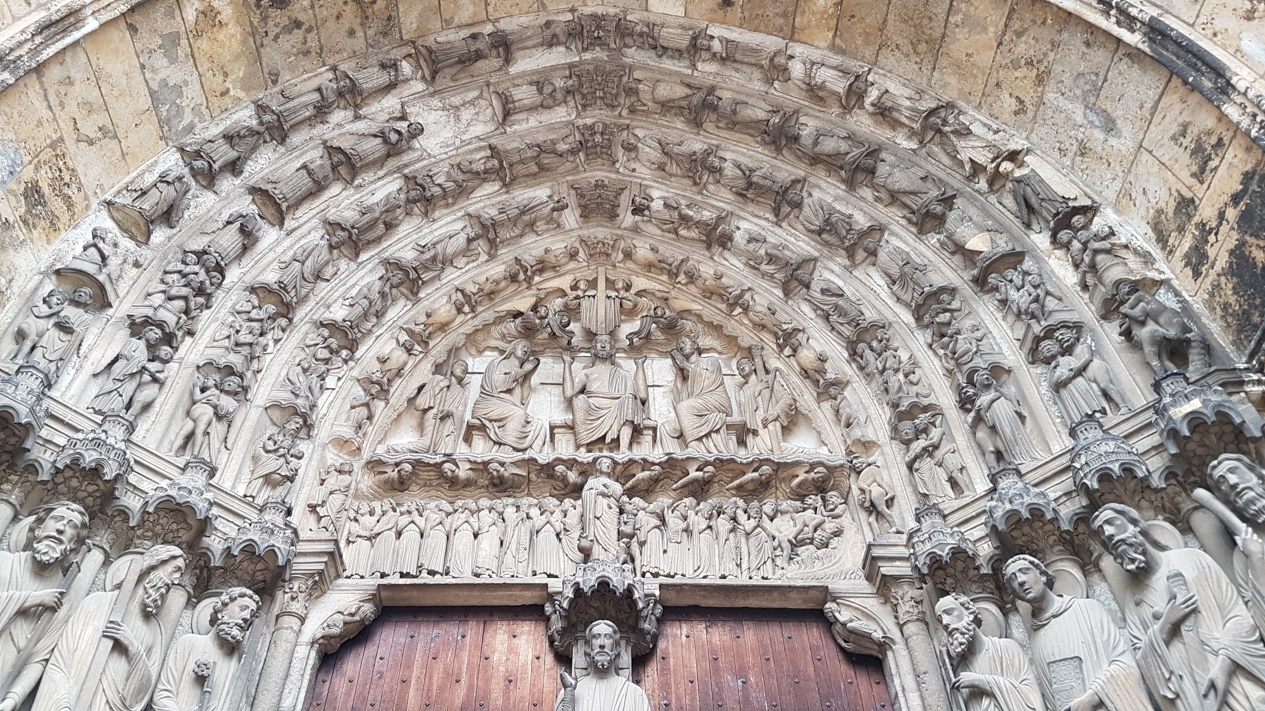
| DescriptionChartres - south portal - central bay - tympan.jpg | Jugement dernier dans la baie centrale du portail Sud de la cathédrale de Chartres. |
| Date | |
| Source | Own work |
| Author | Seudo |
| Camera location | 48° 26′ 51″ N, 1° 29′ 18″ E | View this and other nearby images on: OpenStreetMap |
|---|
Licensing
| Public domainPublic domainfalsefalse |
|
This work is in the public domain in its country of origin and other countries and areas where the copyright term is the author's life plus 70 years or fewer. This work is in the public domain in the United States because it was published (or registered with the U.S. Copyright Office) before January 1, 1929. | |
| This file has been identified as being free of known restrictions under copyright law, including all related and neighboring rights. | |
https://creativecommons.org/publicdomain/mark/1.0/PDMCreative Commons Public Domain Mark 1.0falsefalse
Captions
Items portrayed in this file
depicts
13 November 2016
48°26'51.0"N, 1°29'17.9"E
image/jpeg
ab0f83813db9361f9aaa41103ae8c918cd531768
2,387,867 byte
1,440 pixel
2,560 pixel
File history
Click on a date/time to view the file as it appeared at that time.
| Date/Time | Thumbnail | Dimensions | User | Comment | |
|---|---|---|---|---|---|
| current | 21:17, 14 November 2016 | | 2,560 × 1,440 (2.28 MB) | Seudo | VicuñaUploader 1.23 |
File usage
Metadata
This file contains additional information, probably added from the digital camera or scanner used to create or digitize it.
If the file has been modified from its original state, some details may not fully reflect the modified file.
| Camera manufacturer | samsung |
|---|---|
| Camera model | SM-G930F |
| Exposure time | 1/100 sec (0.01) |
| F-number | f/1.7 |
| ISO speed rating | 40 |
| Date and time of data generation | 13:33, 13 November 2016 |
| Lens focal length | 4.2 mm |
| Latitude | 48° 26′ 51″ N |
| Longitude | 1° 29′ 18″ E |
| Altitude | 0 meters above sea level |
| Orientation | Normal |
| Horizontal resolution | 72 dpi |
| Vertical resolution | 72 dpi |
| Software used | G930FXXU1BPHJ |
| File change date and time | 13:33, 13 November 2016 |
| Y and C positioning | Centered |
| Exposure Program | Normal program |
| Exif version | 2.2 |
| Date and time of digitizing | 13:33, 13 November 2016 |
| Shutter speed | 6.64 |
| APEX aperture | 1.53 |
| APEX brightness | 3.5 |
| Exposure bias | 0 |
| Maximum land aperture | 1.53 APEX (f/1.7) |
| Metering mode | Center weighted average |
| Flash | Flash did not fire |
| DateTime subseconds | 0371 |
| DateTimeOriginal subseconds | 0371 |
| DateTimeDigitized subseconds | 0371 |
| Supported Flashpix version | 1 |
| Color space | sRGB |
| Exposure mode | Auto exposure |
| White balance | Auto white balance |
| Focal length in 35 mm film | 26 mm |
| Scene capture type | Standard |
| Unique image ID | C12LLJB18VM C12LLJE03GM |
| GPS time (atomic clock) | 12:32 |
| GPS date | 13 November 2016 |
| GPS tag version | 0.0.2.2 |