File:Karte_Kanton_Baselstadt_2010.png
From Wikipedia, the free encyclopedia
Size of this preview: 800 × 571 pixels. Other resolutions: 320 × 228 pixels | 640 × 457 pixels | 1,024 × 731 pixels | 1,280 × 914 pixels | 2,066 × 1,475 pixels.
Original file (2,066 × 1,475 pixels, file size: 529 KB, MIME type: image/png)
| This is a file from the Wikimedia Commons. Information from its description page there is shown below. Commons is a freely licensed media file repository. You can help. |
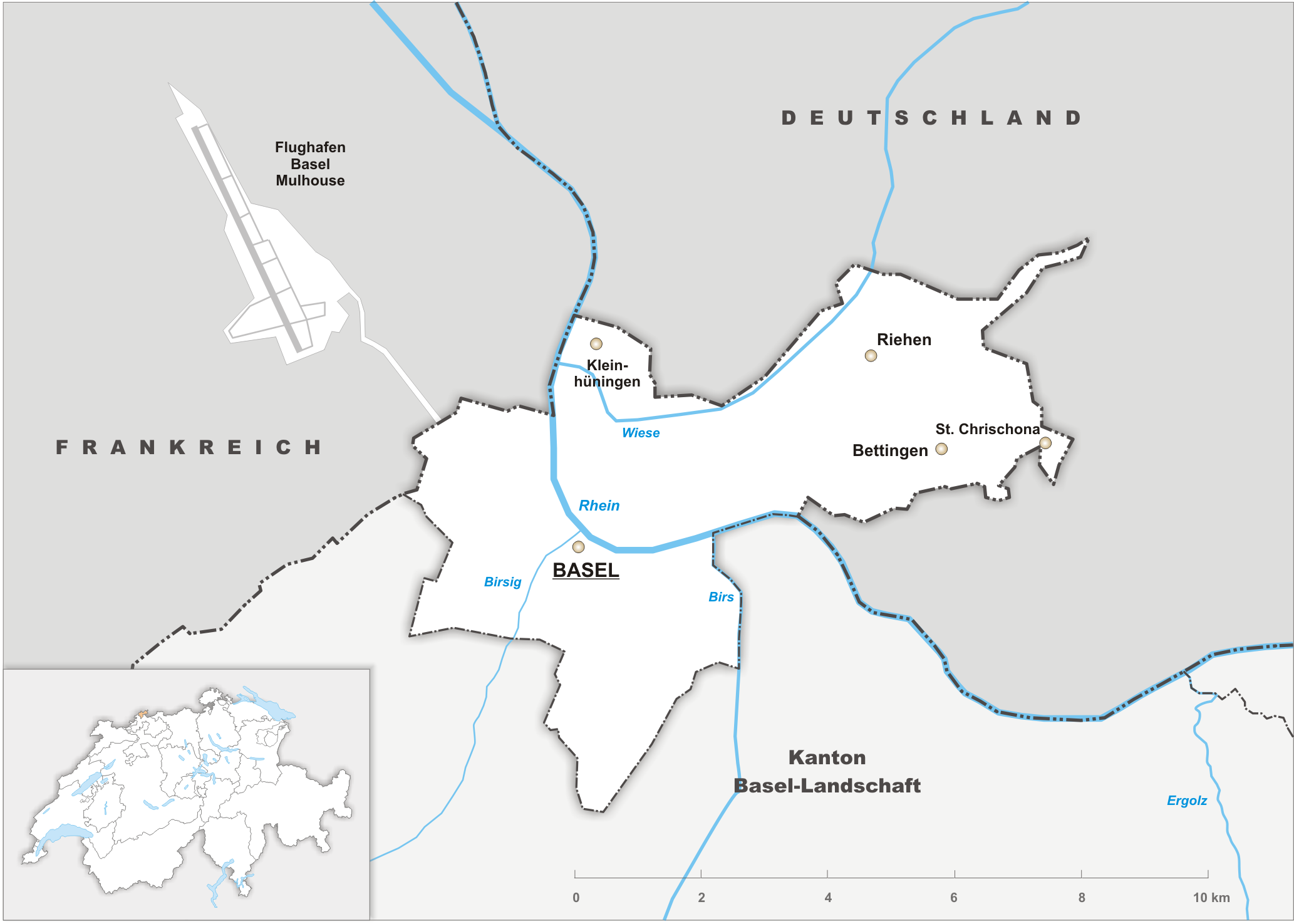
| DescriptionKarte Kanton Baselstadt 2010.png |
Deutsch: Karte des Kanton Basel-Stadt. |
||||||||
| Date | |||||||||
| Source | Own work | ||||||||
| Author | Tschubby | ||||||||
| Permission (Reusing this file) |
I, the copyright holder of this work, hereby publish it under the following licenses:
This file is licensed under the Creative Commons Attribution-Share Alike 2.5 Generic, 2.0 Generic and 1.0 Generic license.
You may select the license of your choice. |

Captions
Add a one-line explanation of what this file represents
Items portrayed in this file
depicts
18 October 2009
File history
Click on a date/time to view the file as it appeared at that time.
| Date/Time | Thumbnail | Dimensions | User | Comment | |
|---|---|---|---|---|---|
| current | 08:26, 18 October 2009 | | 2,066 × 1,475 (529 KB) | Tschubby | {{Information |Description= {{de| Karte des Kanton Basel-Stadt.}} |Source={{own}} |Date= 18.10.2009 |Author= Tschubby |Permission= {{self|GFDL|Cc-by-sa-3.0-migrated|Cc-by-sa-2.5,2.0,1.0}} }} [[Category:Map |
File usage
The following pages on the English Wikipedia use this file (pages on other projects are not listed):
Global file usage
The following other wikis use this file:
- Usage on fr.wikipedia.org
- Usage on hr.wikipedia.org
- Usage on simple.wikipedia.org
- Usage on ur.wikipedia.org
- Usage on vi.wikipedia.org
Retrieved from "https://en.wikipedia.org/wiki/File:Karte_Kanton_Baselstadt_2010.png"