File:Map_of_Hawaii.png
From Wikipedia, the free encyclopedia
Size of this preview: 524 × 599 pixels. Other resolutions: 210 × 240 pixels | 420 × 480 pixels | 672 × 768 pixels | 896 × 1,024 pixels | 1,818 × 2,078 pixels.
Original file (1,818 × 2,078 pixels, file size: 851 KB, MIME type: image/png)
| This is a file from the Wikimedia Commons. Information from its description page there is shown below. Commons is a freely licensed media file repository. You can help. |
Summary
| DescriptionMap of Hawaii.png |
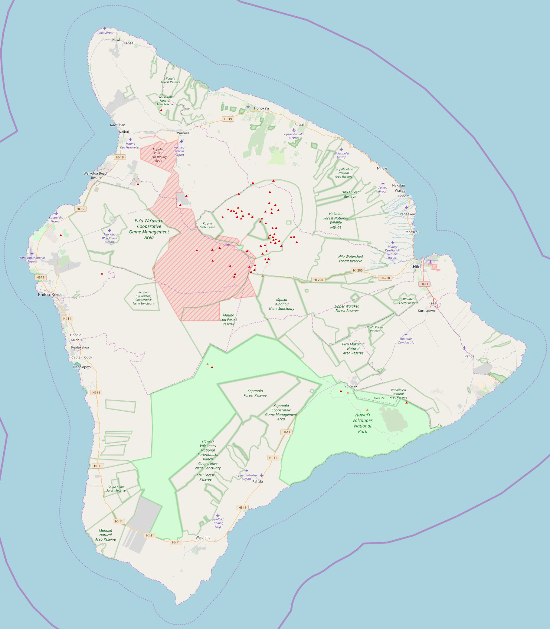
English: OpenStreetMap - Map of Hawaii
Български: Позиционна карта на остров Хавай
|
| Date | |
| Source | http://www.openstreetmap.org/ |
| Author | OpenStreetMap |
| DescriptionMap of Hawaii.png |
This map of Hawaii (island) was created from OpenStreetMap project data, collected by the community. This map may be incomplete, and may contain errors. Don't rely solely on it for navigation. |
|||||||||
| Date | (see file history) | |||||||||
| Source | openstreetmap.org | |||||||||
| Creator |
OpenStreetMap contributors |
|||||||||
| Permission (Reusing this file) |
OpenStreetMap data and maps are licensed under the Creative Commons Attribution-ShareAlike 2.0 license (CC-BY-SA 2.0). This file is licensed under the Creative Commons Attribution-Share Alike 2.0 Generic license.
|
|||||||||
| Geotemporal data | ||||||||||
| Bounding box |
|
|||||||||
| Georeferencing | Georeference the map in Wikimaps Warper If inappropriate please set warp_status = skip to hide. | |||||||||
Licensing
This file is licensed under the Creative Commons Attribution-Share Alike 2.0 Generic license.
- You are free:
- to share – to copy, distribute and transmit the work
- to remix – to adapt the work
- Under the following conditions:
- attribution – You must give appropriate credit, provide a link to the license, and indicate if changes were made. You may do so in any reasonable manner, but not in any way that suggests the licensor endorses you or your use.
- share alike – If you remix, transform, or build upon the material, you must distribute your contributions under the same or compatible license as the original.
Captions
Add a one-line explanation of what this file represents
Items portrayed in this file
depicts
7 July 2016
File history
Click on a date/time to view the file as it appeared at that time.
| Date/Time | Thumbnail | Dimensions | User | Comment | |
|---|---|---|---|---|---|
| current | 17:28, 25 October 2017 | | 1,818 × 2,078 (851 KB) | Mliu92 | Closer view of island. |
| 17:13, 25 October 2017 |  | 1,755 × 1,976 (600 KB) | Mliu92 | Updated map, colors. | |
| 15:40, 7 July 2016 |  | 2,062 × 1,910 (655 KB) | Rumensz | {{Information |Description ={{en|1=OpenStreetMap - Map of Hawaii}} {{bg|1=Позиционна карта на остров Хавай}} |Source =http://www.openstreetmap.org/ |Author =OpenStreetMap |Date =07.07.2016 |Perm... |
File usage
The following pages on the English Wikipedia use this file (pages on other projects are not listed):
Global file usage
The following other wikis use this file:
- Usage on bg.wikipedia.org
- Usage on fr.wikipedia.org
- Usage on hi.wikipedia.org
- Usage on ko.wikipedia.org
- Usage on ml.wikipedia.org
- Usage on si.wikipedia.org
- Usage on tr.wikipedia.org
- Usage on uz.wikipedia.org
Retrieved from "https://en.wikipedia.org/wiki/File:Map_of_Hawaii.png"