File:Newfoundland_map.png
From Wikipedia, the free encyclopedia
Size of this preview: 513 × 600 pixels. Other resolutions: 205 × 240 pixels | 410 × 480 pixels | 869 × 1,016 pixels.
Original file (869 × 1,016 pixels, file size: 334 KB, MIME type: image/png)
| This is a file from the Wikimedia Commons. Information from its description page there is shown below. Commons is a freely licensed media file repository. You can help. |
Summary
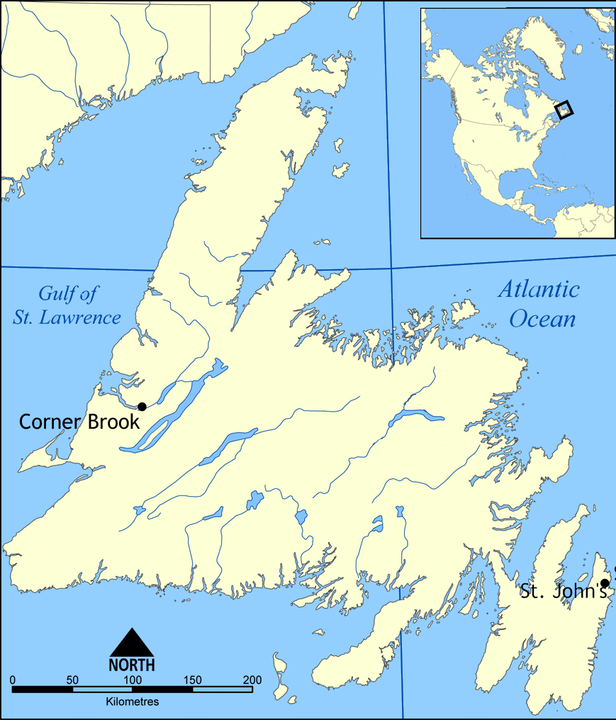
| DescriptionNewfoundland map.png | Map of Newfoundland, Canada |
| Date | |
| Source | cropped version of Image:Newfoundland map blank.png |
| Author | Coach.nyta, edited by Qyd |
| Permission (Reusing this file) |
GNU |
| Other versions |
Derivative works of this file: Treaty Shore of Newfoundland.png Image:Newfoundland map blank.png |
Licensing

|
Permission is granted to copy, distribute and/or modify this document under the terms of the GNU Free Documentation License, Version 1.2 or any later version published by the Free Software Foundation; with no Invariant Sections, no Front-Cover Texts, and no Back-Cover Texts. A copy of the license is included in the section entitled GNU Free Documentation License.http://www.gnu.org/copyleft/fdl.htmlGFDLGNU Free Documentation Licensetruetrue |
| This file is licensed under the Creative Commons Attribution-Share Alike 3.0 Unported license. | ||
| ||
| This licensing tag was added to this file as part of the GFDL licensing update.http://creativecommons.org/licenses/by-sa/3.0/CC BY-SA 3.0Creative Commons Attribution-Share Alike 3.0truetrue |
Captions
Add a one-line explanation of what this file represents
Items portrayed in this file
depicts
January 2008
File history
Click on a date/time to view the file as it appeared at that time.
| Date/Time | Thumbnail | Dimensions | User | Comment | |
|---|---|---|---|---|---|
| current | 22:35, 8 November 2015 | | 869 × 1,016 (334 KB) | Flappiefh | Added Saint-Pierre and Miquelon. |
| 21:49, 14 January 2008 |  | 869 × 1,016 (316 KB) | Qyd | {{Information |Description= |Source=cropped version of Image:Newfoundland map blank.png |Date= Jan 2008 |Author= Coach.nyta, edited by Qyd |Permission=GNU |other_versions=Image:Newfoundland map blank.png }} [[Ca |
File usage
The following pages on the English Wikipedia use this file (pages on other projects are not listed):
Global file usage
The following other wikis use this file:
- Usage on ar.wikipedia.org
- Usage on arz.wikipedia.org
- Usage on ast.wikipedia.org
- Usage on az.wikipedia.org
- Usage on bg.wikipedia.org
- Usage on bs.wikipedia.org
- Usage on ca.wikipedia.org
- Usage on ckb.wikipedia.org
- Usage on cs.wikipedia.org
- Usage on da.wikipedia.org
- Usage on de.wikipedia.org
- Usage on el.wikipedia.org
- Usage on en.wikinews.org
- Usage on en.wiktionary.org
- Usage on eo.wikipedia.org
- Usage on es.wikipedia.org
- Usage on eu.wikipedia.org
- Usage on fa.wikipedia.org
- Usage on fi.wikipedia.org
- Usage on fi.wiktionary.org
- Usage on fr.wiktionary.org
- Usage on fy.wikipedia.org
- Usage on ga.wikipedia.org
- Usage on he.wikipedia.org
- Usage on hr.wikipedia.org
- Usage on hu.wikipedia.org
- Usage on hy.wikipedia.org
- Usage on id.wikipedia.org
- Usage on is.wikipedia.org
- Usage on it.wikipedia.org
View more global usage of this file.
Metadata
This file contains additional information, probably added from the digital camera or scanner used to create or digitize it.
If the file has been modified from its original state, some details may not fully reflect the modified file.
| Horizontal resolution | 35.43 dpc |
|---|---|
| Vertical resolution | 35.43 dpc |
| Software used |
Retrieved from "https://en.wikipedia.org/wiki/File:Newfoundland_map.png"