File:Aerial_View_of_Damavand_26.11.2008_04-23-59.JPG
From Wikipedia, the free encyclopedia
Size of this preview: 800 × 600 pixels. Other resolutions: 320 × 240 pixels | 640 × 480 pixels | 1,024 × 768 pixels | 1,280 × 960 pixels | 2,048 × 1,536 pixels.
Original file (2,048 × 1,536 pixels, file size: 1,009 KB, MIME type: image/jpeg)
| This is a file from the Wikimedia Commons. Information from its description page there is shown below. Commons is a freely licensed media file repository. You can help. |
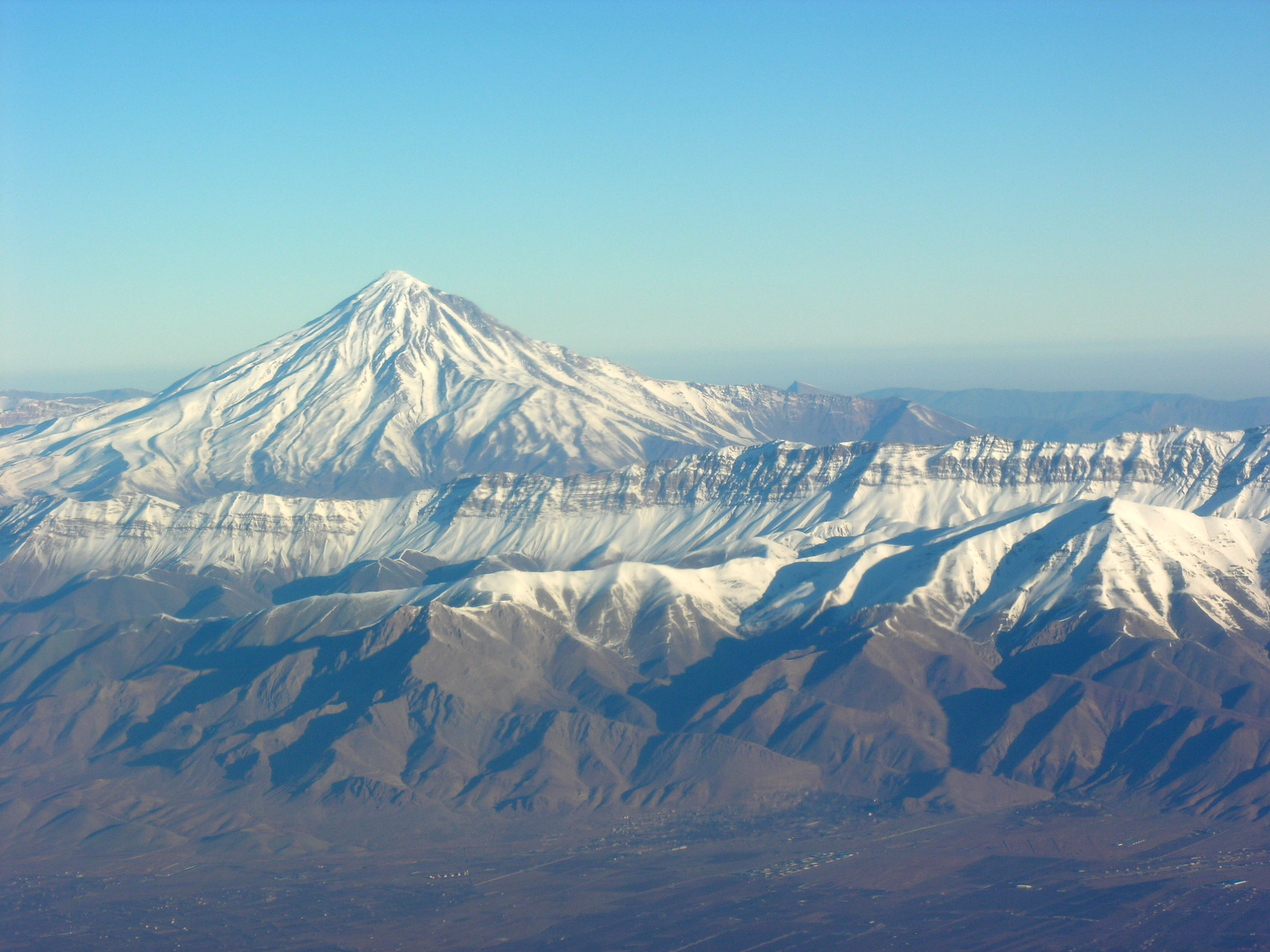
| DescriptionAerial View of Damavand 26.11.2008 04-23-59.JPG | Aerial View of Damavand |
| Date | Taken on 26 November 2008, 04:23:59 |
| Source | Own work |
| Author | Hansueli Krapf |
| Permission (Reusing this file) |
Attribution ShareAlike 3.0 |
| Camera location | 35° 24′ 13.67″ N, 52° 15′ 17.24″ E | View this and other nearby images on: OpenStreetMap |
|---|
This file is licensed under the Creative Commons Attribution-Share Alike 3.0 Unported license.
- You are free:
- to share – to copy, distribute and transmit the work
- to remix – to adapt the work
- Under the following conditions:
- attribution – You must give appropriate credit, provide a link to the license, and indicate if changes were made. You may do so in any reasonable manner, but not in any way that suggests the licensor endorses you or your use.
- share alike – If you remix, transform, or build upon the material, you must distribute your contributions under the same or compatible license as the original.
| Annotations InfoField | This image is annotated: View the annotations at Commons |
87
678
1958
146
2048
1536
Mount Doberar
223
829
1820
425
2048
1536
Mount Zarrin (Damavand County)
120
420
1370
256
2048
1536
Mount Damavand
Captions
Add a one-line explanation of what this file represents
Items portrayed in this file
depicts
some value
26 November 2008
35°24'13.673"N, 52°15'17.237"E
0.0044247787610619469 second
6.8
32.4 millimetre
image/jpeg
6ba518f46540f2546e760f95c0bc4274457e6733
1,032,737 byte
1,536 pixel
2,048 pixel
File history
Click on a date/time to view the file as it appeared at that time.
| Date/Time | Thumbnail | Dimensions | User | Comment | |
|---|---|---|---|---|---|
| current | 19:45, 19 June 2009 | | 2,048 × 1,536 (1,009 KB) | Simisa | {{Information |Description=Aerial View of Damavand |Source=Own Work |Date=see metadata |Author=Hansueli Krapf |Permission=Attribution ShareAlike 3.0 |other_versions= }} {{cc-by-sa-3.0}} Category:Aerial photographs of Iran [[Category: |
File usage
The following pages on the English Wikipedia use this file (pages on other projects are not listed):
Global file usage
The following other wikis use this file:
- Usage on ar.wikipedia.org
- Usage on arz.wikipedia.org
- Usage on ast.wikipedia.org
- Usage on az.wikipedia.org
- Usage on ba.wikipedia.org
- Usage on bs.wikipedia.org
- Usage on ca.wikipedia.org
- Usage on cs.wikipedia.org
- Usage on cy.wikipedia.org
- Usage on da.wikipedia.org
- Usage on de.wikipedia.org
- Usage on diq.wikipedia.org
- Usage on eo.wikipedia.org
- Usage on es.wikipedia.org
- Usage on eu.wikipedia.org
- Usage on fa.wikipedia.org
- Usage on he.wikipedia.org
- Usage on hr.wikipedia.org
- Usage on hy.wikipedia.org
- Usage on ko.wikipedia.org
- Usage on la.wikipedia.org
- Usage on lld.wikipedia.org
- Usage on pl.wikipedia.org
- Usage on ro.wikipedia.org
- Usage on ru.wikipedia.org
- Usage on sh.wikipedia.org
- Usage on tg.wikipedia.org
- Usage on uk.wikipedia.org
- Usage on www.wikidata.org
Metadata
This file contains additional information, probably added from the digital camera or scanner used to create or digitize it.
If the file has been modified from its original state, some details may not fully reflect the modified file.
| Camera manufacturer | NIKON |
|---|---|
| Camera model | E8800 |
| Exposure time | 1/226 sec (0.0044247787610619) |
| F-number | f/6.8 |
| ISO speed rating | 50 |
| Date and time of data generation | 04:23, 26 November 2008 |
| Lens focal length | 32.4 mm |
| Altitude | 5,710 meters above sea level |
| Orientation | 0 |
| Horizontal resolution | 300 dpi |
| Vertical resolution | 300 dpi |
| Software used | Picasa 3.0 |
| File change date and time | 04:23, 26 November 2008 |
| Y and C positioning | Co-sited |
| Exposure Program | Normal program |
| Exif version | 2.2 |
| Date and time of digitizing | 04:23, 26 November 2008 |
| Image compression mode | 7 |
| Exposure bias | 0 |
| Maximum land aperture | 3.1 APEX (f/2.93) |
| Metering mode | Pattern |
| Light source | Unknown |
| Flash | Flash did not fire, compulsory flash suppression |
| Color space | Uncalibrated |
| Custom image processing | Normal process |
| Exposure mode | Auto exposure |
| White balance | Auto white balance |
| Digital zoom ratio | 0 |
| Focal length in 35 mm film | 127 mm |
| Scene capture type | Standard |
| Contrast | Normal |
| Saturation | Normal |
| Sharpness | Normal |
| Subject distance range | Unknown |
| Unique image ID | 97a0a4053aefdefb0bddcfedb83fd979 |
| North or south latitude | North latitude |
| East or west longitude | East longitude |