File:AnnapolisRoyalNSSkyline.jpg
From Wikipedia, the free encyclopedia
Size of this preview: 800 × 302 pixels. Other resolutions: 320 × 121 pixels | 640 × 241 pixels | 1,600 × 603 pixels.
Original file (1,600 × 603 pixels, file size: 321 KB, MIME type: image/jpeg)
| This is a file from the Wikimedia Commons. Information from its description page there is shown below. Commons is a freely licensed media file repository. You can help. |
Summary
| Camera location | 44° 44′ 25.41″ N, 65° 29′ 46.31″ W | View this and other nearby images on: OpenStreetMap |
|---|
| DescriptionAnnapolisRoyalNSSkyline.jpg |
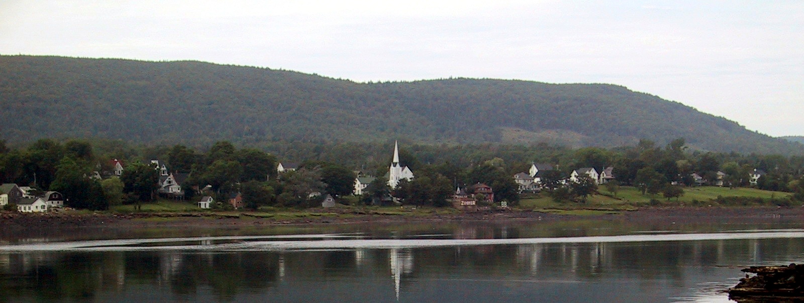
English: Granville Ferry, Nova Scotia, Canada skyline Français : La silhouette d'Annapolis Royal, Nouvelle-Écosse, Canada |
|||
| Date | ||||
| Source | Own work | |||
| Author | Whpq | |||
| Other versions |
|
.jpg)
Licensing
I, the copyright holder of this work, hereby publish it under the following licenses:

|
Permission is granted to copy, distribute and/or modify this document under the terms of the GNU Free Documentation License, Version 1.2 or any later version published by the Free Software Foundation; with no Invariant Sections, no Front-Cover Texts, and no Back-Cover Texts. A copy of the license is included in the section entitled GNU Free Documentation License.http://www.gnu.org/copyleft/fdl.htmlGFDLGNU Free Documentation Licensetruetrue |
| This file is licensed under the Creative Commons Attribution-Share Alike 3.0 Unported license. | ||
| ||
| This licensing tag was added to this file as part of the GFDL licensing update.http://creativecommons.org/licenses/by-sa/3.0/CC BY-SA 3.0Creative Commons Attribution-Share Alike 3.0truetrue |
You may select the license of your choice.
Captions
Add a one-line explanation of what this file represents
Items portrayed in this file
depicts
44°44'25.41530"N, 65°29'46.30830"W
14 August 2005
0.008 second
10
10.8125 millimetre
image/jpeg
a642b2df6823931ff09c20d7ab9edf811db25bc8
328,885 byte
603 pixel
1,600 pixel
File history
Click on a date/time to view the file as it appeared at that time.
| Date/Time | Thumbnail | Dimensions | User | Comment | |
|---|---|---|---|---|---|
| current | 22:33, 4 July 2010 | 1,600 × 603 (321 KB) | Jeangagnon | photoshop | |
| 16:42, 3 January 2008 | 1,600 × 603 (288 KB) | Whpq | {{location dec|44.74039314152228|-65.49619674682617}} {{Information |Description={{en|Annapolis Royal, Nova Scotia, Canada skyline}} |Source=self-made |Date=2005-08-14 |Author= Whpq |Permission= |other_versions= }} |
File usage
The following pages on the English Wikipedia use this file (pages on other projects are not listed):
Global file usage
The following other wikis use this file:
- Usage on ar.wikipedia.org
- Usage on arz.wikipedia.org
- Usage on atj.wikipedia.org
- Usage on ca.wikipedia.org
- Usage on ceb.wikipedia.org
- Usage on cs.wikipedia.org
- Usage on cv.wikipedia.org
- Usage on de.wikipedia.org
- Usage on en.wikivoyage.org
- Usage on es.wikipedia.org
- Usage on et.wikipedia.org
- Usage on fr.wikipedia.org
- Usage on fr.wikivoyage.org
- Usage on gd.wikipedia.org
- Usage on it.wikipedia.org
- Usage on lld.wikipedia.org
- Usage on pl.wikipedia.org
- Usage on pt.wikipedia.org
- Usage on ro.wikipedia.org
- Usage on ru.wikipedia.org
- Usage on sk.wikipedia.org
- Usage on sq.wikipedia.org
- Usage on sv.wikipedia.org
- Usage on uk.wikipedia.org
- Usage on www.wikidata.org
- Usage on zh.wikipedia.org
Metadata
This file contains additional information, probably added from the digital camera or scanner used to create or digitize it.
If the file has been modified from its original state, some details may not fully reflect the modified file.
| Camera manufacturer | Canon |
|---|---|
| Camera model | Canon PowerShot S100 |
| Exposure time | 1/125 sec (0.008) |
| F-number | f/10 |
| Date and time of data generation | 14:40, 14 August 2005 |
| Lens focal length | 10.8125 mm |
| Orientation | Normal |
| Software used | Adobe Photoshop CS4 Windows |
| File change date and time | 18:38, 4 July 2010 |
| Y and C positioning | Centered |
| Exif version | 2.1 |
| Date and time of digitizing | 14:40, 14 August 2005 |
| Meaning of each component |
|
| Image compression mode | 3 |
| Shutter speed | 6.9657897949219 |
| APEX aperture | 6.643856 |
| Exposure bias | 0 |
| Maximum land aperture | 2.9708557128906 APEX (f/2.8) |
| Subject distance | 30 meters |
| Metering mode | Center weighted average |
| Flash | Flash did not fire |
| Supported Flashpix version | 1 |
| Color space | sRGB |
| Focal plane X resolution | 7,766.9902912621 |
| Focal plane Y resolution | 7,741.935483871 |
| Focal plane resolution unit | inches |
| Sensing method | One-chip color area sensor |
| File source | Digital still camera |
Retrieved from "https://en.wikipedia.org/wiki/File:AnnapolisRoyalNSSkyline.jpg"