File:Berlin-wall-map.png
From Wikipedia, the free encyclopedia
No higher resolution available.
Berlin-wall-map.png (571 × 482 pixels, file size: 67 KB, MIME type: image/png)
| This is a file from the Wikimedia Commons. Information from its description page there is shown below. Commons is a freely licensed media file repository. You can help. |

|
File:Berlin-wall-map en.svg is a vector version of this file. It should be used in place of this PNG file when not inferior.
File:Berlin-wall-map.png → File:Berlin-wall-map en.svg
For more information, see Help:SVG.
|
 |
| DescriptionBerlin-wall-map.png |
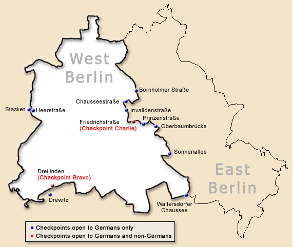
English: Map of the Berlin Wall, showing checkpoints. Français : Carte du mur de Berlin avec les points de contrôle. Deutsch: Karte der Berliner Mauer, Kontrollpunkte gezeigt. 日本語: 西ベルリンを囲むベルリンの壁 丸い記号は国境検問所 Svenska: Karta över Berlinmuren, visande gränsövergångar (korrigering: Staaten heter Staaken) |
| Date | |
| Source | Own work |
| Author | ChrisO - uploaded by Grant, 2005-03-12 |
| Other versions | Derived from en:File:Occupiedberlin.png |
ChrisO, the copyright holder of this work, hereby publishes it under the following license:

|
Permission is granted to copy, distribute and/or modify this document under the terms of the GNU Free Documentation License, Version 1.2 or any later version published by the Free Software Foundation; with no Invariant Sections, no Front-Cover Texts, and no Back-Cover Texts. A copy of the license is included in the section entitled GNU Free Documentation License.http://www.gnu.org/copyleft/fdl.htmlGFDLGNU Free Documentation Licensetruetrue |
| This file is licensed under the Creative Commons Attribution-Share Alike 3.0 Unported license. | ||
| Attribution: ChrisO | ||
| ||
| This licensing tag was added to this file as part of the GFDL licensing update.http://creativecommons.org/licenses/by-sa/3.0/CC BY-SA 3.0Creative Commons Attribution-Share Alike 3.0truetrue |
Captions
Add a one-line explanation of what this file represents
Items portrayed in this file
depicts
26 January 2005
image/png
3bd46cce44f2b8a79d8a69e564bb32156308ab79
68,390 byte
482 pixel
571 pixel
File history
Click on a date/time to view the file as it appeared at that time.
| Date/Time | Thumbnail | Dimensions | User | Comment | |
|---|---|---|---|---|---|
| current | 00:41, 5 January 2011 | | 571 × 482 (67 KB) | Hundehalter | Bezeichnung der GÜSt Staaken (war "Staaten") berichtigt corrected the name of the crossing Staaken (was: "Staaten") |Date=2005-01-26 |Author=ChrisO - uploaded by Grant, 2005-03-12 |Permission= |other_ver |
| 08:33, 12 March 2005 |  | 570 × 482 (30 KB) | Grant | Map of the Berlin Wall, showing checkpoints By ChrisO |
File usage
No pages on the English Wikipedia use this file (pages on other projects are not listed).
Retrieved from "https://en.wikipedia.org/wiki/File:Berlin-wall-map.png"