File:Boarhills_-_geograph.org.uk_-_956252.jpg
From Wikipedia, the free encyclopedia
No higher resolution available.
Boarhills_-_geograph.org.uk_-_956252.jpg (640 × 480 pixels, file size: 106 KB, MIME type: image/jpeg)
| This is a file from the Wikimedia Commons. Information from its description page there is shown below. Commons is a freely licensed media file repository. You can help. |
Summary
| DescriptionBoarhills - geograph.org.uk - 956252.jpg | |
| Date | |
| Source | From geograph.org.uk |
| Author | Derek Harper |
| Attribution (required by the license) InfoField | Derek Harper / Boarhills / |
InfoField | Derek Harper / Boarhills |
| Camera location | 56° 18′ 50.1″ N, 2° 42′ 13″ W | View this and other nearby images on: OpenStreetMap |
|---|
| Object location | 56° 18′ 57″ N, 2° 42′ 14″ W | View this and other nearby images on: OpenStreetMap |
|---|
Licensing

|
This image was taken from the Geograph project collection. See this photograph's page on the Geograph website for the photographer's contact details. The copyright on this image is owned by Derek Harper and is licensed for reuse under the Creative Commons Attribution-ShareAlike 2.0 license.
|
This file is licensed under the Creative Commons Attribution-Share Alike 2.0 Generic license.
Attribution: Derek Harper
- You are free:
- to share – to copy, distribute and transmit the work
- to remix – to adapt the work
- Under the following conditions:
- attribution – You must give appropriate credit, provide a link to the license, and indicate if changes were made. You may do so in any reasonable manner, but not in any way that suggests the licensor endorses you or your use.
- share alike – If you remix, transform, or build upon the material, you must distribute your contributions under the same or compatible license as the original.
Captions
Add a one-line explanation of what this file represents
some value
15 August 2008
56°18'50.15"N, 2°42'12.96"W
56°18'57.2"N, 2°42'14.4"W
image/jpeg
a2ea5b4001b29ee7a58bb63049a19f5c7d9d2f61
108,984 byte
480 pixel
640 pixel
File history
Click on a date/time to view the file as it appeared at that time.
| Date/Time | Thumbnail | Dimensions | User | Comment | |
|---|---|---|---|---|---|
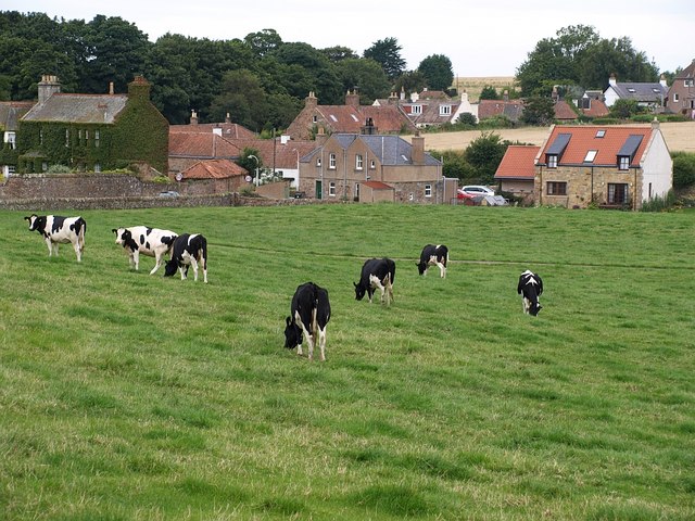
| current | 12:41, 22 February 2011 | | 640 × 480 (106 KB) | GeographBot | == {{int:filedesc}} == {{Information |description={{en|1=Boarhills Taken from the same spot as 956021, looking across a field of cows to part of the village shown in 51952.}} |date=2008-08-15 |source=From [http://www.geograph.org.uk/photo/956252 g |
File usage
The following pages on the English Wikipedia use this file (pages on other projects are not listed):
Global file usage
The following other wikis use this file:
Metadata
This file contains additional information, probably added from the digital camera or scanner used to create or digitize it.
If the file has been modified from its original state, some details may not fully reflect the modified file.
| _error | 0 |
|---|