File:Canada_Côte-Nord_Region_Quebec.png
From Wikipedia, the free encyclopedia
Size of this preview: 682 × 600 pixels. Other resolutions: 273 × 240 pixels | 546 × 480 pixels | 873 × 768 pixels | 1,120 × 985 pixels.
Original file (1,120 × 985 pixels, file size: 393 KB, MIME type: image/png)
| This is a file from the Wikimedia Commons. Information from its description page there is shown below. Commons is a freely licensed media file repository. You can help. |
Would like to see more info on. SAINT PAUL'S RIVER Prov. Que. Conte Saguney.
Summary
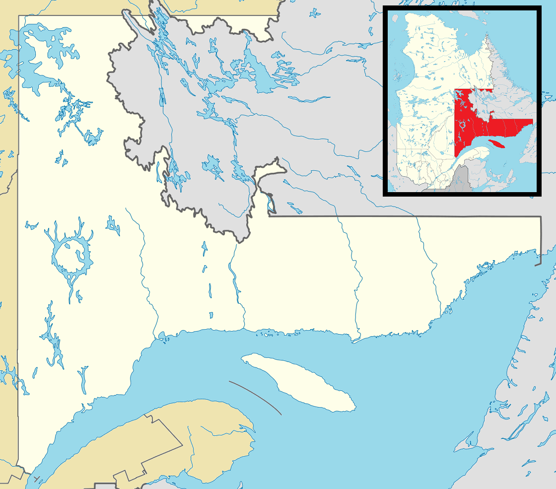
| DescriptionCanada Côte-Nord Region Quebec.png |
English: Map of Côte-Nord Region of Québec Province for use in location map templates |
| Date | |
| Source |
This file was derived from: Canada Quebec location map 2.svg:  |
| Author |
|
Licensing
This file is licensed under the Creative Commons Attribution-Share Alike 3.0 Unported license.
- You are free:
- to share – to copy, distribute and transmit the work
- to remix – to adapt the work
- Under the following conditions:
- attribution – You must give appropriate credit, provide a link to the license, and indicate if changes were made. You may do so in any reasonable manner, but not in any way that suggests the licensor endorses you or your use.
- share alike – If you remix, transform, or build upon the material, you must distribute your contributions under the same or compatible license as the original.
Captions
Add a one-line explanation of what this file represents
Items portrayed in this file
depicts
18 April 2013
image/png
dc21e6622cc3b266ab3612fe0f11d2957d45da98
402,817 byte
985 pixel
1,120 pixel
File history
Click on a date/time to view the file as it appeared at that time.
| Date/Time | Thumbnail | Dimensions | User | Comment | |
|---|---|---|---|---|---|
| current | 19:37, 18 April 2013 | | 1,120 × 985 (393 KB) | Gordalmighty | User created page with UploadWizard |
File usage
The following pages on the English Wikipedia use this file (pages on other projects are not listed):
- Aguanish, Quebec
- Baie-Comeau
- Baie-Johan-Beetz
- Baie-Trinité, Quebec
- Blanc-Sablon
- Bonne-Espérance, Quebec
- Caniapiscau, Quebec
- Chute-aux-Outardes
- Colombier, Quebec
- Côte-Nord-du-Golfe-du-Saint-Laurent
- Essipit
- Fermont
- Forestville, Quebec
- Fox Island, Gulf of Saint Lawrence, Quebec
- Franquelin, Quebec
- Godbout, Quebec
- Gros-Mécatina
- Havre-Saint-Pierre
- Kawawachikamach, Quebec
- L'Île-d'Anticosti, Quebec
- La Romaine, Quebec
- Lac-John
- Lac-Juillet, Quebec
- Lac-Jérôme, Quebec
- Lac-Vacher, Quebec
- Lac-Walker, Quebec
- Lac-au-Brochet, Quebec
- Les Bergeronnes
- Les Escoumins
- Longue-Pointe-de-Mingan, Quebec
- Longue-Rive, Quebec
- Maliotenam
- Matimekosh
- Mingan
- Natashquan
- Nutashkuan
- Pessamit
- Petit-Mécatina, Quebec
- Pointe-Lebel, Quebec
- Pointe-aux-Outardes, Quebec
- Port-Cartier
- Portneuf-sur-Mer, Quebec
- Poste Montagnais
- Ragueneau, Quebec
- René-Levasseur Island
- Rivière-Mouchalagane, Quebec
- Rivière-Nipissis, Quebec
- Rivière-Saint-Jean, Quebec
- Rivière-au-Tonnerre, Quebec
- Rivière-aux-Outardes, Quebec
- Sacré-Coeur, Quebec
- Saint-Augustin, Côte-Nord, Quebec
- Schefferville
- Sept-Îles, Quebec
- Tadoussac
- Uashat
- Île à Bouleaux de Terre
- Module:Location map/data/Canada Quebec Côte-Nord Region
- Module:Location map/data/Canada Quebec Côte-Nord Region/doc
- Module:Location map/data/Côte-Nord Region Quebec
Global file usage
The following other wikis use this file:
- Usage on ar.wikipedia.org
- Usage on ceb.wikipedia.org
- Usage on es.wikipedia.org
- Usage on fa.wikipedia.org
- Usage on fr.wikipedia.org
- Usage on ja.wikipedia.org
- Usage on kn.wikipedia.org
- Usage on si.wikipedia.org
- Usage on tr.wikipedia.org
- Usage on ur.wikipedia.org
- Usage on uz.wikipedia.org
- Usage on war.wikipedia.org
- Usage on zh.wikipedia.org
Metadata
This file contains additional information, probably added from the digital camera or scanner used to create or digitize it.
If the file has been modified from its original state, some details may not fully reflect the modified file.
| Horizontal resolution | 37.8 dpc |
|---|---|
| Vertical resolution | 37.8 dpc |