File:Channel_Islands_NMS_map.jpg
From Wikipedia, the free encyclopedia
Original file (2,000 × 1,550 pixels, file size: 637 KB, MIME type: image/jpeg)
| This is a file from the Wikimedia Commons. Information from its description page there is shown below. Commons is a freely licensed media file repository. You can help. |
Summary
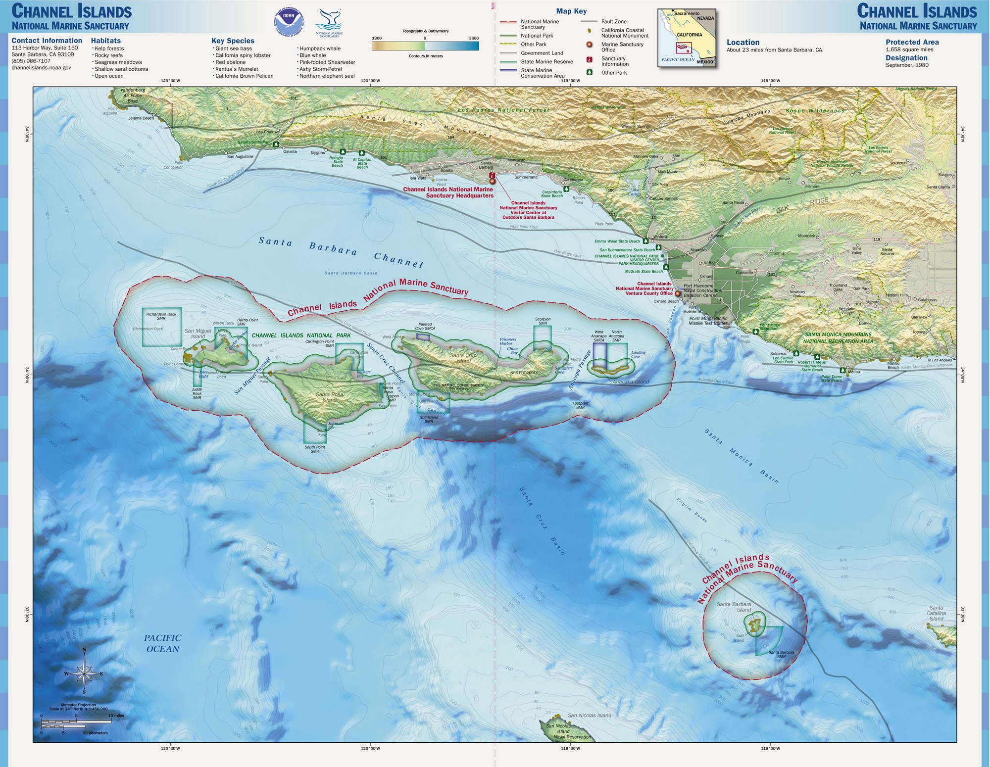
| DescriptionChannel Islands NMS map.jpg |
English: Map of the Channel Islands National Marine Sanctuary — Southern California.
|
||||
| Source | http://www.sanctuaries.noaa.gov/pgallery/atlasmaps/ci.html | ||||
| Author | NOAA, National Marine Sanctuaries | ||||
| Permission (Reusing this file) |
|
en:Channel Islands National Marine Sanctuary
Captions
Items portrayed in this file
depicts
image/jpeg
00b0c8b9fa7178cd8a208834f3c652a0f5e0f9bf
652,109 byte
1,550 pixel
2,000 pixel
File history
Click on a date/time to view the file as it appeared at that time.
| Date/Time | Thumbnail | Dimensions | User | Comment | |
|---|---|---|---|---|---|
| current | 01:34, 17 October 2006 | | 2,000 × 1,550 (637 KB) | Davepape | {{Information |Description=Map of the Channel Islands National Marine Sanctuary |Source=http://www.sanctuaries.noaa.gov/pgallery/atlasmaps/ci.html |Date= |Author=NOAA, National Marine Sanctuaries |Permissi |
File usage
Global file usage
The following other wikis use this file:
- Usage on de.wikipedia.org
- Usage on es.wikipedia.org
- Usage on fr.wikipedia.org
- Usage on mt.wikipedia.org
- Usage on www.wikidata.org
Metadata
This file contains additional information, probably added from the digital camera or scanner used to create or digitize it.
If the file has been modified from its original state, some details may not fully reflect the modified file.
| _error | 0 |
|---|