File:DarienCTUSCoastAndGeodeticSurvey1965Marker11042007.jpg
From Wikipedia, the free encyclopedia
Size of this preview: 687 × 600 pixels. Other resolutions: 275 × 240 pixels | 550 × 480 pixels | 880 × 768 pixels | 1,173 × 1,024 pixels | 1,290 × 1,126 pixels.
Original file (1,290 × 1,126 pixels, file size: 606 KB, MIME type: image/jpeg)
| This is a file from the Wikimedia Commons. Information from its description page there is shown below. Commons is a freely licensed media file repository. You can help. |
Summary
| DescriptionDarienCTUSCoastAndGeodeticSurvey1965Marker11042007.jpg |
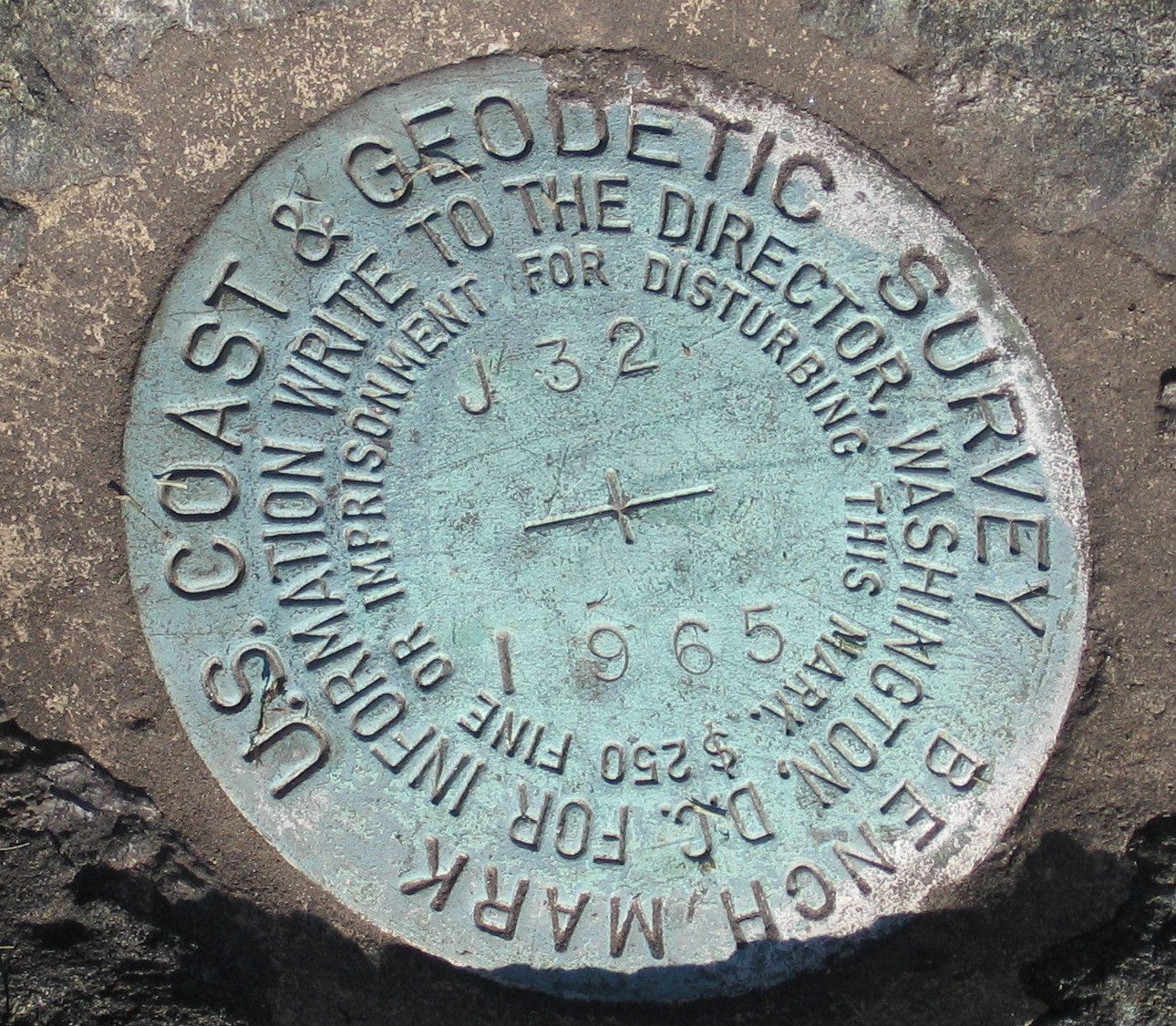
English: Marker, United States Coast and Geodetic Survey marker embedded in a large rock in front of the Noroton Volunteer Fire Department, Darien, Connecticut. |
| Date | 5 November 2007 (original upload date) |
| Source | Transferred from en.wikipedia to Commons by Oxyman using CommonsHelper. |
| Author | The original uploader was Noroton at English Wikipedia. |
| Camera location | 41° 04′ 41.45″ N, 73° 28′ 08.44″ W | View this and other nearby images on: OpenStreetMap |
|---|
Licensing
| Public domainPublic domainfalsefalse |
| This work has been released into the public domain by its author, Noroton at English Wikipedia. This applies worldwide. In some countries this may not be legally possible; if so: Noroton grants anyone the right to use this work for any purpose, without any conditions, unless such conditions are required by law.Public domainPublic domainfalsefalse |
Original upload log
The original description page was here. All following user names refer to en.wikipedia.
- 2007-11-05 02:12 Noroton 1290×1126× (620467 bytes) Marker, [[U.S. National Geodetic Survey]] marker embedded in a large rock in front of the Noroton Fire Department, [[Darien, Connecticut]]
Captions
Add a one-line explanation of what this file represents
Items portrayed in this file
depicts
41°4'41.452"N, 73°28'8.440"W
5 November 2007
image/jpeg
File history
Click on a date/time to view the file as it appeared at that time.
| Date/Time | Thumbnail | Dimensions | User | Comment | |
|---|---|---|---|---|---|
| current | 21:59, 13 June 2009 | | 1,290 × 1,126 (606 KB) | File Upload Bot (Magnus Manske) | {{BotMoveToCommons|en.wikipedia|year={{subst:CURRENTYEAR}}|month={{subst:CURRENTMONTHNAME}}|day={{subst:CURRENTDAY}}}} {{Information |Description={{en|Marker, en:U.S. National Geodetic Survey marker embedded in a large rock in front of the Noroton |
File usage
The following pages on the English Wikipedia use this file (pages on other projects are not listed):
Global file usage
The following other wikis use this file:
- Usage on fa.wikipedia.org
- Usage on fr.wikipedia.org
- Usage on it.wikipedia.org
- Usage on my.wikipedia.org
- Usage on nn.wikipedia.org
- Usage on pt.wikipedia.org
- Usage on simple.wikipedia.org
- Usage on ta.wikipedia.org
- Usage on tl.wikipedia.org
- Usage on uk.wikipedia.org
- Usage on www.wikidata.org
Metadata
This file contains additional information, probably added from the digital camera or scanner used to create or digitize it.
If the file has been modified from its original state, some details may not fully reflect the modified file.
| Camera manufacturer | Canon |
|---|---|
| Camera model | Canon PowerShot A520 |
| Exposure time | 1/640 sec (0.0015625) |
| F-number | f/5.5 |
| Date and time of data generation | 12:19, 4 November 2007 |
| Lens focal length | 23.1875 mm |
| Orientation | Normal |
| Horizontal resolution | 180 dpi |
| Vertical resolution | 180 dpi |
| File change date and time | 12:19, 4 November 2007 |
| Y and C positioning | Centered |
| Exif version | 2.2 |
| Date and time of digitizing | 12:19, 4 November 2007 |
| Shutter speed | 9.3125 |
| APEX aperture | 4.90625 |
| Exposure bias | 0 |
| Flash | Flash did not fire, auto mode |
| Color space | sRGB |
| Focal plane X resolution | 10,142.857142857 |
| Focal plane Y resolution | 10,142.857142857 |
| Focal plane resolution unit | inches |
| Custom image processing | Normal process |
| Exposure mode | Auto exposure |
| White balance | Auto white balance |
| Digital zoom ratio | 1 |
| Scene capture type | Standard |