File:East_Timor_Satellite.jpg
From Wikipedia, the free encyclopedia
Size of this preview: 800 × 576 pixels. Other resolutions: 320 × 230 pixels | 640 × 461 pixels | 913 × 657 pixels.
Original file (913 × 657 pixels, file size: 48 KB, MIME type: image/jpeg)
| This is a file from the Wikimedia Commons. Information from its description page there is shown below. Commons is a freely licensed media file repository. You can help. |
| Public domainPublic domainfalsefalse |
This file is in the public domain because it is a mosaic composed by images obtained from OpenLayers (http://openlayers.org)
|
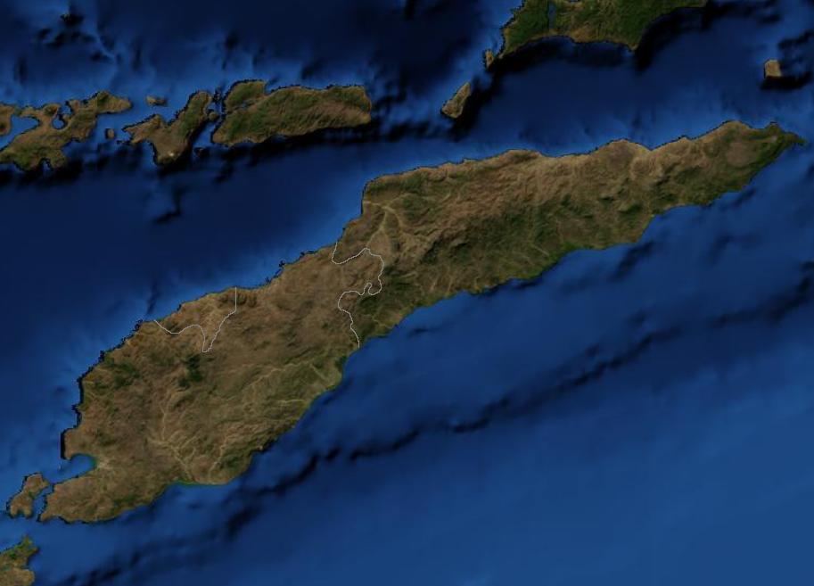
Satellite image of East Timor.
File history
Click on a date/time to view the file as it appeared at that time.
| Date/Time | Thumbnail | Dimensions | User | Comment | |
|---|---|---|---|---|---|
| current | 03:39, 19 March 2007 | | 913 × 657 (48 KB) | Waldyrious | {{PD-because|it is a mosaic composed by images obtained from OpenLayers (http://openlayers.org)}} Satellite image of East Timor. Category:Maps of East Timor |
File usage
The following pages on the English Wikipedia use this file (pages on other projects are not listed):
Global file usage
The following other wikis use this file:
- Usage on af.wikipedia.org
- Usage on bn.wikipedia.org
- Usage on nl.wikipedia.org
- Usage on pl.wiktionary.org
- Usage on pt.wikipedia.org
Metadata
This file contains additional information, probably added from the digital camera or scanner used to create or digitize it.
If the file has been modified from its original state, some details may not fully reflect the modified file.
| _error | 0 |
|---|
Retrieved from "https://en.wikipedia.org/wiki/File:East_Timor_Satellite.jpg"