File:Europe_satellite_image_location_map.jpg
From Wikipedia, the free encyclopedia
Size of this preview: 800 × 536 pixels. Other resolutions: 320 × 215 pixels | 640 × 429 pixels | 1,024 × 687 pixels | 1,280 × 858 pixels | 2,560 × 1,716 pixels | 5,668 × 3,800 pixels.
Original file (5,668 × 3,800 pixels, file size: 1.83 MB, MIME type: image/jpeg)
| This is a file from the Wikimedia Commons. Information from its description page there is shown below. Commons is a freely licensed media file repository. You can help. |
Summary
| DescriptionEurope satellite image location map.jpg |
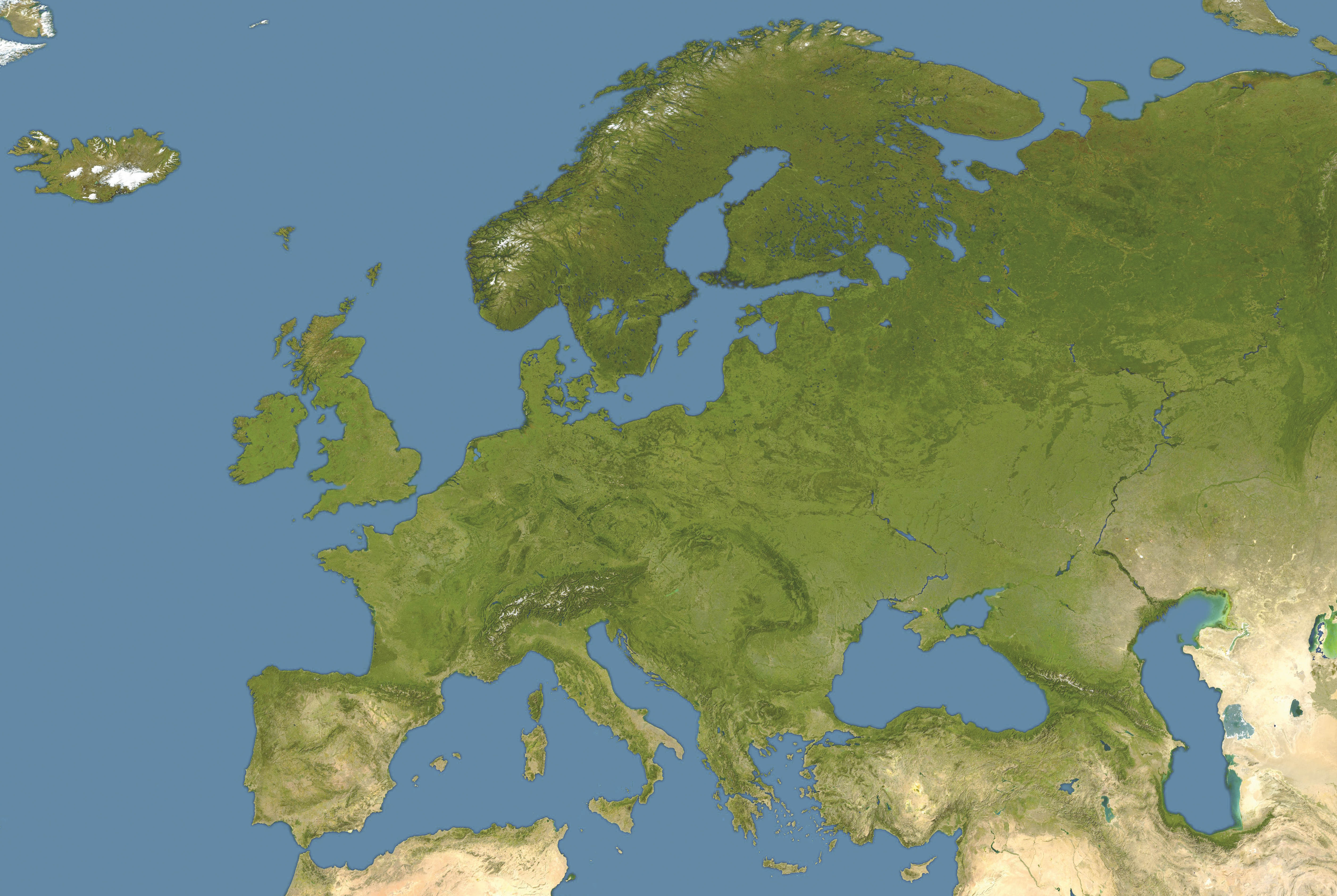
Deutsch: Positionskarte von Europa, Satellitenbild
Quadratische Plattkarte, N-S-Streckung 150 %. Geographische Begrenzung der Karte:
English: Location map of Europe, satellite image
Equirectangular projection, N/S stretching 150 %. Geographic limits of the map:
|
| Date | |
| Source | own work, cropped and colour-edited version of image:Whole world - land and oceans 12000.jpg by NASA/Goddard Space Flight Center |
| Author | NordNordWest |
| Other versions |
Derivative works of this file: |

|
This map has been made or improved in the German Kartenwerkstatt (Map Lab). You can propose maps to improve as well.
azərbaycanca ∙ čeština ∙ Deutsch ∙ Deutsch (Sie-Form) ∙ English ∙ español ∙ français ∙ italiano ∙ latviešu ∙ magyar ∙ Nederlands ∙ Plattdüütsch ∙ polski ∙ português ∙ română ∙ sicilianu ∙ slovenščina ∙ suomi ∙ македонски ∙ русский ∙ ქართული ∙ հայերեն ∙ বাংলা ∙ ไทย ∙ +/−
|
Licensing
| Public domainPublic domainfalsefalse |
| I, the copyright holder of this work, release this work into the public domain. This applies worldwide. In some countries this may not be legally possible; if so: I grant anyone the right to use this work for any purpose, without any conditions, unless such conditions are required by law. |
Captions
Add a one-line explanation of what this file represents
Items portrayed in this file
depicts
some value
28 September 2008
image/jpeg
File history
Click on a date/time to view the file as it appeared at that time.
| Date/Time | Thumbnail | Dimensions | User | Comment | |
|---|---|---|---|---|---|
| current | 12:40, 28 September 2008 | | 5,668 × 3,800 (1.83 MB) | NordNordWest | {{Information |Description= {{de|Positionskarte von Europa, Satellitenbild}} Quadratische Plattkarte, N-S-Streckung 150 %. Geographische Begrenzung der Karte: * N: 74° N * S: 34° N * W: 25° W * O: 60° O {{en|Location map of [[:en:Europe |
File usage
The following pages on the English Wikipedia use this file (pages on other projects are not listed):
Global file usage
The following other wikis use this file:
- Usage on av.wikipedia.org
- Usage on ba.wikipedia.org
- Usage on cs.wikiquote.org
- Usage on de.wikipedia.org
- Le Mans Series 2006
- Champions Hockey League 2008/09
- Wikipedia:Kartenwerkstatt/Positionskarten/Europa
- Vorlage:Positionskarte Europa Satellitenbild
- Champions Hockey League 2009/10
- European Hockey League 1996/97
- European Hockey League 1999/2000
- European Hockey League 1998/99
- European Hockey League 1997/98
- Usage on inh.wikipedia.org
- Usage on kk.wikipedia.org
- Usage on pl.wikipedia.org
- Usage on pl.wikibooks.org
- Usage on pl.wiktionary.org
- Usage on pt.wikipedia.org
- Usage on ru.wikipedia.org
- Usage on sk.wikipedia.org
- Usage on sv.wikipedia.org
- Usage on uk.wikipedia.org
Metadata
This file contains additional information, probably added from the digital camera or scanner used to create or digitize it.
If the file has been modified from its original state, some details may not fully reflect the modified file.
| Orientation | Normal |
|---|---|
| Horizontal resolution | 72 dpi |
| Vertical resolution | 72 dpi |
| Software used | Adobe Photoshop CS Macintosh |
| File change date and time | 14:26, 28 September 2008 |
| Color space | Uncalibrated |