File:Guyana_relief_location_map.jpg
From Wikipedia, the free encyclopedia
Size of this preview: 407 × 599 pixels. Other resolutions: 163 × 240 pixels | 326 × 480 pixels | 768 × 1,130 pixels.
Original file (768 × 1,130 pixels, file size: 183 KB, MIME type: image/jpeg)
| This is a file from the Wikimedia Commons. Information from its description page there is shown below. Commons is a freely licensed media file repository. You can help. |
Summary
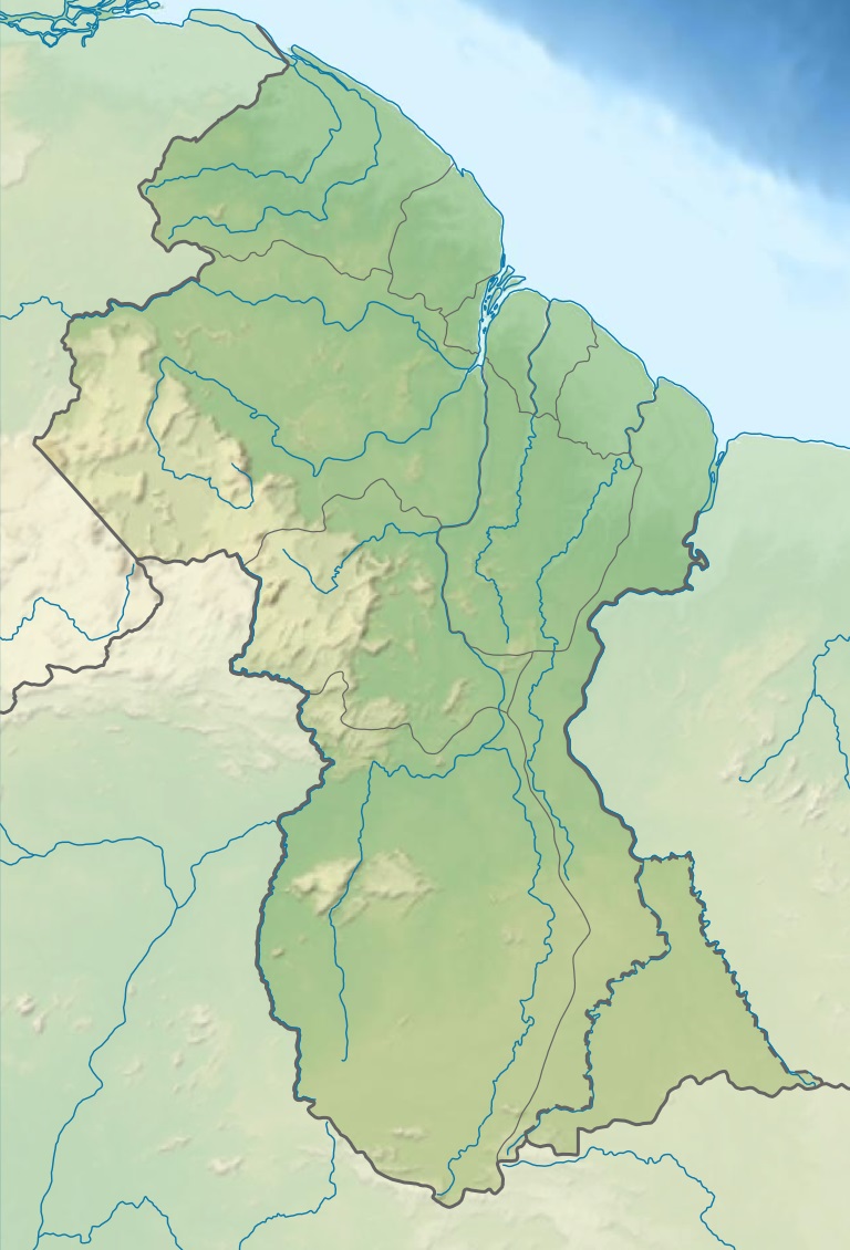
| DescriptionGuyana relief location map.jpg |
Deutsch: Positionskarte von Guyana Quadratische Plattkarte. Geographische Begrenzung der Karte:
English: Location map of Guyana Equirectangular projection. Geographic limits of the map:
|
| Date | (UTC) |
| Source |
This file was derived from: |
| Author |
|
Licensing
This file is licensed under the Creative Commons Attribution-Share Alike 3.0 Unported license.
- You are free:
- to share – to copy, distribute and transmit the work
- to remix – to adapt the work
- Under the following conditions:
- attribution – You must give appropriate credit, provide a link to the license, and indicate if changes were made. You may do so in any reasonable manner, but not in any way that suggests the licensor endorses you or your use.
- share alike – If you remix, transform, or build upon the material, you must distribute your contributions under the same or compatible license as the original.
Original upload log
This image is a derivative work of the following images:
- File:Guiana_shield_map-fr.svg licensed with Cc-by-sa-3.0,2.5,2.0,1.0, GFDL
- File:Guyana_location_map.svg licensed with Cc-by-sa-3.0, GFDL
Uploaded with derivativeFX
Captions
Add a one-line explanation of what this file represents
Items portrayed in this file
depicts
29 July 2013
File history
Click on a date/time to view the file as it appeared at that time.
| Date/Time | Thumbnail | Dimensions | User | Comment | |
|---|---|---|---|---|---|
| current | 01:48, 29 July 2013 | | 768 × 1,130 (183 KB) | Milenioscuro | == {{int:filedesc}} == {{Information |Description={{de|Positionskarte von Guyana}} Quadratische Plattkarte. Geographische Begrenzung der Karte: * N: 8.7° N * S: 0.9° N * W: 61.6° W * O: 56.3° W {{en|Location map of [[:en:Guyana|G... |
File usage
No pages on the English Wikipedia use this file (pages on other projects are not listed).
Global file usage
The following other wikis use this file:
- Usage on da.wikipedia.org
- Usage on de.wikipedia.org
- Usage on es.wikipedia.org
- Isla Hog
- Isla Leguan
- Cataratas Kaieteur
- Río Pomeroon
- Río Moroco
- Plantilla:Mapa de localización de Guyana
- Wikiproyecto:Ilustración/Taller de Cartografía/Realizaciones/América del Sur
- Cataratas Orinduik
- Río Caituma
- Sabana de Rupununi
- Cascadas de Amaila
- Monte Caburaí
- Montes Acaraí
- Faro de Georgetown
- Canal de Torani
- Bosque de Iwokrama
- Cataratas Camarán
- Usage on et.wikipedia.org
- Usage on fr.wikipedia.org
- Mont Roraima
- Mont Caburaí
- Modèle:Géolocalisation/Guyana
- Projet:Cartographie/Géolocalisation/Maintenance/Images des pays
- Mont Ayanganna
- Mont Kanaima
- Chutes de Kaieteur
- Parc national de Kaieteur
- Modèle:Géolocalisation/Guyana/Documentation
- Tepuy Maringma
- Tepuy Wei-Assipu
- Mont Wokomung
- Mont Paramakatoi
- Modèle:Infobox Ville du Guyana
- Modèle:Infobox Ville du Guyana/Documentation
- Utilisateur:Khan Tengri/sandbox
- Nabacalis
- Module:Carte/données/guyana
View more global usage of this file.
Metadata
This file contains additional information, probably added from the digital camera or scanner used to create or digitize it.
If the file has been modified from its original state, some details may not fully reflect the modified file.
| Software used | www.inkscape.org |
|---|
Retrieved from "https://en.wikipedia.org/wiki/File:Guyana_relief_location_map.jpg"