File:Mali_relief_location_map.jpg
From Wikipedia, the free encyclopedia
Size of this preview: 629 × 600 pixels. Other resolutions: 252 × 240 pixels | 503 × 480 pixels | 805 × 768 pixels | 1,074 × 1,024 pixels | 1,900 × 1,812 pixels.
Original file (1,900 × 1,812 pixels, file size: 1.72 MB, MIME type: image/jpeg)
| This is a file from the Wikimedia Commons. Information from its description page there is shown below. Commons is a freely licensed media file repository. You can help. |
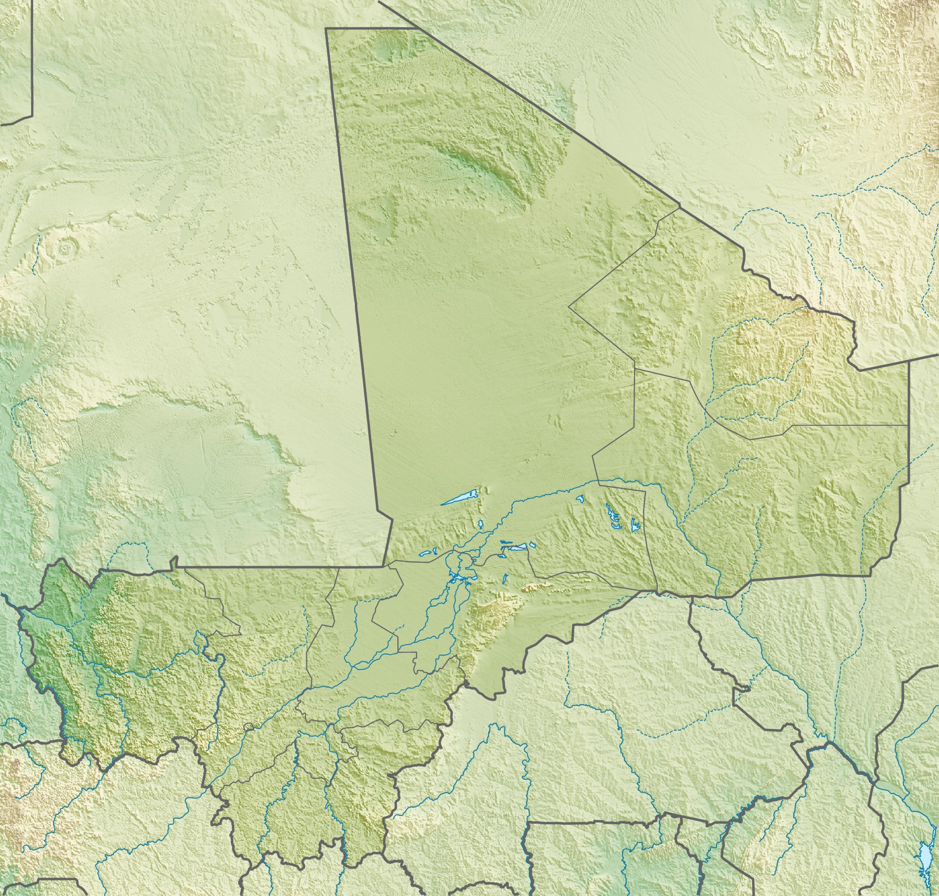
| DescriptionMali relief location map.jpg |
Deutsch: Physische Positionskarte von Mali
Quadratische Plattkarte, N-S-Streckung 105 %. Geographische Begrenzung der Karte:
English: Physical location map of Mali
Equirectangular projection, N/S stretching 105 %. Geographic limits of the map:
|
| Date | |
| Source | Own work, using map data from administrative map by NordNordWest. The relief was created from SRTM-30 relief data |
| Author | Carport |
| Permission (Reusing this file) |
This file is licensed under the Creative Commons Attribution-Share Alike 3.0 Unported license.
|
| Other versions |
|

Captions
Add a one-line explanation of what this file represents
Items portrayed in this file
depicts
6 May 2010
File history
Click on a date/time to view the file as it appeared at that time.
| Date/Time | Thumbnail | Dimensions | User | Comment | |
|---|---|---|---|---|---|
| current | 15:22, 6 May 2010 | | 1,900 × 1,812 (1.72 MB) | Carport | {{Information |Description={{de|Physische Positionskarte von {{w|Mali|3=de}}}} Quadratische Plattkarte, N-S-Streckung 105 %. Geographische Begrenzung der Karte: * N: 25.5° N * S: 9.7° N * W: 12.6° W * O: 4.8° O {{en|Physical location map of {{w|Mali}} |
File usage
The following pages on the English Wikipedia use this file (pages on other projects are not listed):
- 2022 Bankass massacres
- Augustin Hacquard
- Badinko Faunal Reserve
- Bafing National Park
- Bafing River
- Bamako
- Bandiagara Escarpment
- Battle of Jenné
- Boucle du Baoulé National Park
- Djenné-Djenno
- Djinguereber Mosque
- Eugène Bonnier
- Félou Falls
- Félou Hydroelectric Plant
- Grand Mosque of Bamako
- Grand Mosque of Mopti
- Great Mosque of Niono
- Hand of Fatima (rock formation)
- Kabara, Mali
- Kouroufing National Park
- Lake Débo
- Lake Faguibine
- Lake Gossi
- Lake Manantali
- Lake Sélingué
- List of fossiliferous stratigraphic units in Mali
- Manantali Dam
- Mount Hombori
- Moura massacre
- Ounjougou
- Paul Soleillet
- Sidi Yahya Mosque
- Sélingué Dam
- Tireli, Mali
- Tomb of Askia
- Tommo So
- Wongo National Park
- User:Crtew/Yameen Rasheed
- User:Kwjjeon/sandbox
- User:Kwjjeon/tommoso
- Module:Location map/data/Mali
- Module:Location map/data/Mali/doc
Global file usage
The following other wikis use this file:
- Usage on ar.wikipedia.org
- Usage on arz.wikipedia.org
- Usage on ast.wikipedia.org
- Usage on az.wikipedia.org
- Usage on ba.wikipedia.org
- Usage on be.wikipedia.org
- Usage on bg.wikipedia.org
- Usage on bn.wikipedia.org
- Usage on bs.wikipedia.org
- Usage on ca.wikipedia.org
- Usage on ceb.wikipedia.org
- Usage on ce.wikipedia.org
- Usage on ckb.wikipedia.org
- Usage on cs.wikipedia.org
- Usage on da.wikipedia.org
- Usage on de.wikipedia.org
- Mali
- Timbuktu
- Manantali-Talsperre
- Massina
- Gossi (See)
- Hombori Tondo
- Vorlage:Positionskarte Mali
- Wikipedia:Kartenwerkstatt/Positionskarten/Afrika
- Débo-See
- Benutzer:Carport/Galerie
- Adjelhoc
- Faguibine
- Diafarabé
- Welterbe in Mali
- Kabara (Mali)
- Téméra
- Ber (Timbuktu)
- Liste von Kraftwerken in Mali
- Kraftwerk Félou
- Manantali-See
View more global usage of this file.
Metadata
This file contains additional information, probably added from the digital camera or scanner used to create or digitize it.
If the file has been modified from its original state, some details may not fully reflect the modified file.
| _error | 0 |
|---|
Retrieved from "https://en.wikipedia.org/wiki/File:Mali_relief_location_map.jpg"