File:Mamluk_Sultanate.PNG
From Wikipedia, the free encyclopedia
Size of this preview: 800 × 370 pixels. Other resolutions: 320 × 148 pixels | 640 × 296 pixels | 1,357 × 628 pixels.
Original file (1,357 × 628 pixels, file size: 149 KB, MIME type: image/png)
| This is a file from the Wikimedia Commons. Information from its description page there is shown below. Commons is a freely licensed media file repository. You can help. |
Summary
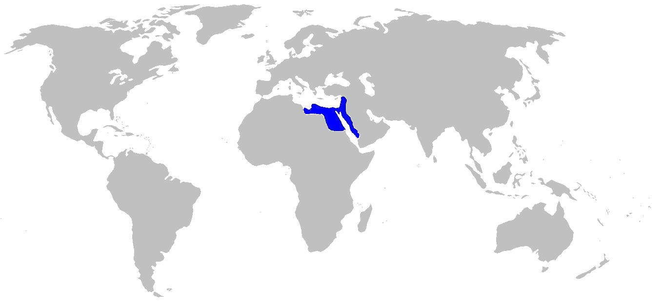
| DescriptionMamluk Sultanate.PNG |
English: Map of the mameluke Sultanate 1279 AD |
| Date | |
| Source | self made map copied from Historical Atlas of the Medieval World by John Haywood ISBN 0-7607-1976-4 |
| Author | User:Historian of the arab peoples |
Licensing
| Public domainPublic domainfalsefalse |
| I, the copyright holder of this work, release this work into the public domain. This applies worldwide. In some countries this may not be legally possible; if so: I grant anyone the right to use this work for any purpose, without any conditions, unless such conditions are required by law. |
Captions
Add a one-line explanation of what this file represents
Items portrayed in this file
depicts
30 October 2008
File history
Click on a date/time to view the file as it appeared at that time.
| Date/Time | Thumbnail | Dimensions | User | Comment | |
|---|---|---|---|---|---|
| current | 01:48, 31 October 2008 | | 1,357 × 628 (149 KB) | Historian of the arab people | {{Information |Description={{en|1=Map of the mameluke Sultanate 1279 AD }} |Source=self made map copied from Historical Atlas of the Medieval World by John Haywood ISBN 0-7607-1976-4 |Author=User:Historian of the arab peoples |Date=OCtober 30 2008 |Permis |
File usage
No pages on the English Wikipedia use this file (pages on other projects are not listed).
Retrieved from "https://en.wikipedia.org/wiki/File:Mamluk_Sultanate.PNG"