File:Map_Brest.jpg
From Wikipedia, the free encyclopedia
Size of this preview: 551 × 599 pixels. Other resolutions: 221 × 240 pixels | 441 × 480 pixels | 706 × 768 pixels | 942 × 1,024 pixels | 1,894 × 2,059 pixels.
Original file (1,894 × 2,059 pixels, file size: 2.97 MB, MIME type: image/jpeg)
| This is a file from the Wikimedia Commons. Information from its description page there is shown below. Commons is a freely licensed media file repository. You can help. |
Summary
| DescriptionMap Brest.jpg |
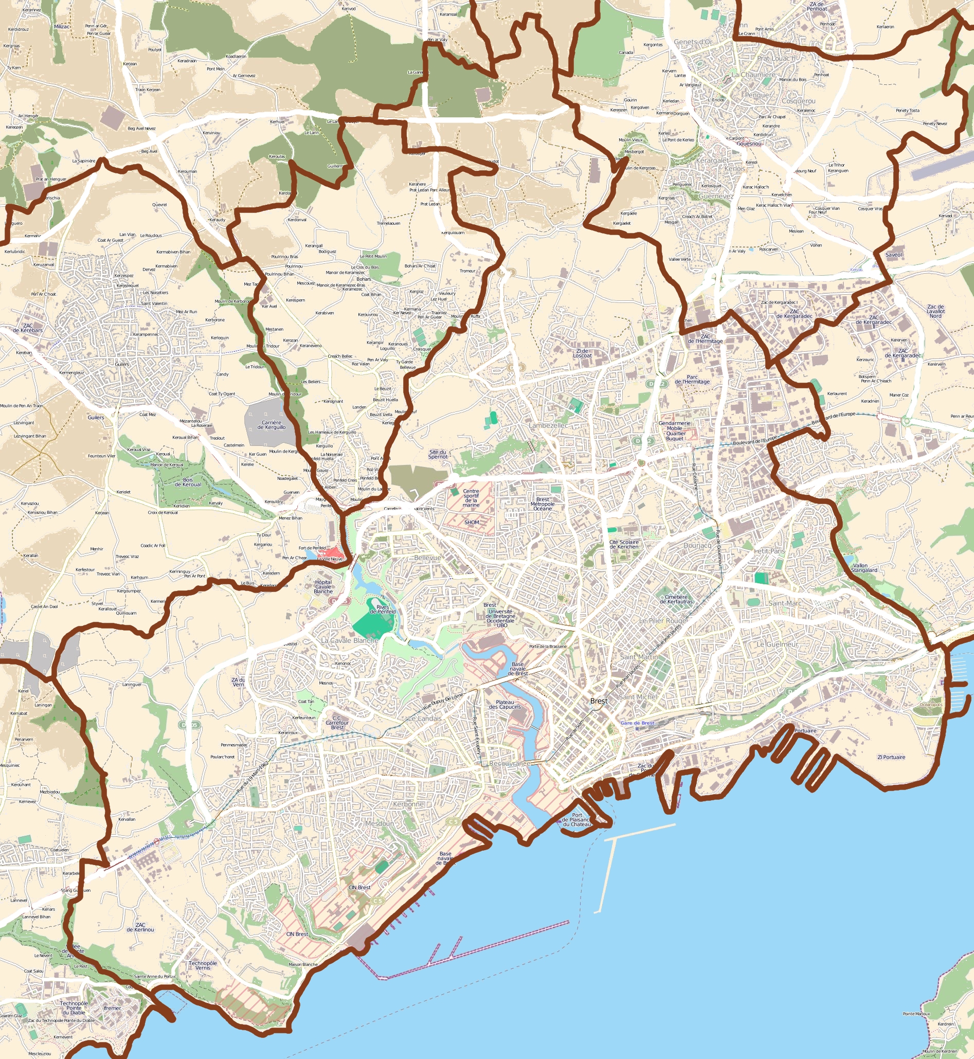
English: map of Brest, France
Français : carte de Brest, France |
||||||||||||
| Date | |||||||||||||
| Source |
|
||||||||||||
| Author | OpenStreetMap contributors |
Licensing
This file is licensed under the Creative Commons Attribution-Share Alike 3.0 Unported license.
- You are free:
- to share – to copy, distribute and transmit the work
- to remix – to adapt the work
- Under the following conditions:
- attribution – You must give appropriate credit, provide a link to the license, and indicate if changes were made. You may do so in any reasonable manner, but not in any way that suggests the licensor endorses you or your use.
- share alike – If you remix, transform, or build upon the material, you must distribute your contributions under the same or compatible license as the original.
Captions
Add a one-line explanation of what this file represents
Items portrayed in this file
depicts
26 July 2011
image/jpeg
File history
Click on a date/time to view the file as it appeared at that time.
| Date/Time | Thumbnail | Dimensions | User | Comment | |
|---|---|---|---|---|---|
| current | 14:38, 26 July 2011 | | 1,894 × 2,059 (2.97 MB) | XIIIfromTOKYO | {{Information |Description ={{en|1=map of Brest, France}} {{fr|1=carte de Brest, France}} |Source ={{openstreetmap}} |Author =OpenStreetMap contributors |Date =2011-07-26 |Permission = |other_versions = }} [[Category:Maps |
File usage
The following pages on the English Wikipedia use this file (pages on other projects are not listed):
Global file usage
The following other wikis use this file:
- Usage on ar.wikipedia.org
- Usage on arz.wikipedia.org
- Usage on ceb.wikipedia.org
- Usage on da.wikipedia.org
- Usage on eo.wikipedia.org
- Usage on eu.wikipedia.org
- Usage on fa.wikipedia.org
- Usage on fr.wikipedia.org
- Pont de Recouvrance
- Rue de Siam
- Cours Dajot
- Place de la Liberté (Brest)
- Château de Brest
- École nationale d'ingénieurs de Brest
- Télécom Bretagne
- Océanopolis
- Université de Bretagne-Occidentale
- Brest Business School
- École nationale supérieure de techniques avancées Bretagne
- École des mousses
- Stade Francis-Le Blé
- Explosion de l'abri Sadi-Carnot
- Recouvrance (Brest)
- Arsenal de Brest
- Rue Saint-Malo (Brest)
- Salle Marcel-Cerdan
- Tour Tanguy
- Lycée naval de Brest
- Rue Jean-Jaurès (Brest)
- Brest
- Pont National (Brest)
- Pont de l'Harteloire
- Port de Brest
- Massacre de Penguerec
- Base sous-marine de Brest
- École supérieure d'ingénieurs en agroalimentaire de Bretagne atlantique
- Musée des Beaux-Arts de Brest
- Centre hospitalier universitaire de Brest
- Lycée La Pérouse-Kerichen
- Modèle:Géolocalisation/Brest
- École européenne supérieure d'art de Bretagne (Brest)
- Prison de Pontaniou
- Téléphérique de Brest
- Saint-Martin (Brest)
- La Consulaire
View more global usage of this file.
Metadata
This file contains additional information, probably added from the digital camera or scanner used to create or digitize it.
If the file has been modified from its original state, some details may not fully reflect the modified file.
| _error | 0 |
|---|
Retrieved from "https://en.wikipedia.org/wiki/File:Map_Brest.jpg"