File:Map_Le_Havre.jpg
From Wikipedia, the free encyclopedia
Size of this preview: 603 × 599 pixels. Other resolutions: 242 × 240 pixels | 483 × 480 pixels | 773 × 768 pixels | 1,031 × 1,024 pixels | 1,980 × 1,967 pixels.
Original file (1,980 × 1,967 pixels, file size: 2.45 MB, MIME type: image/jpeg)
| This is a file from the Wikimedia Commons. Information from its description page there is shown below. Commons is a freely licensed media file repository. You can help. |
Summary
| DescriptionMap Le Havre.jpg |
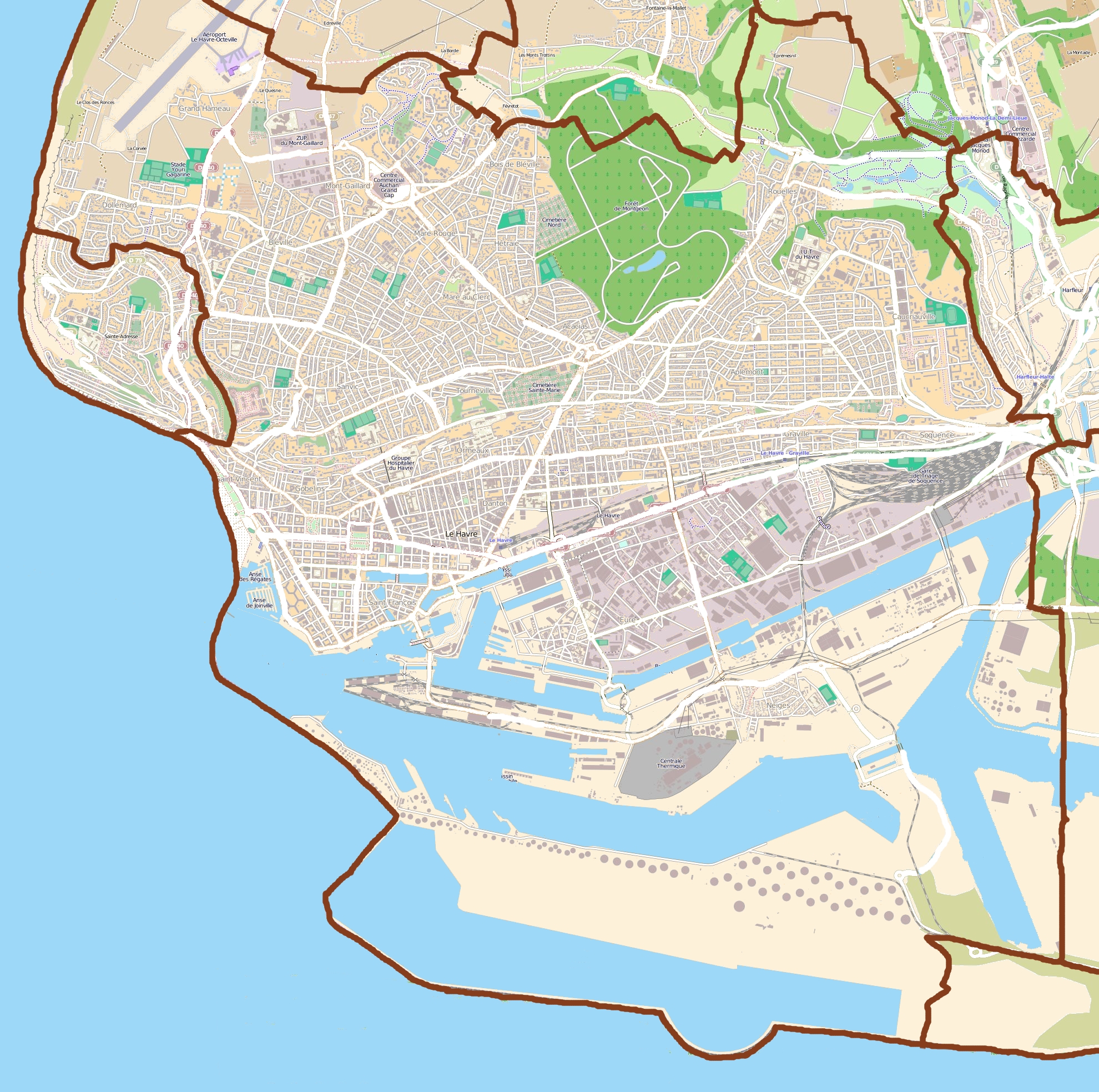
English: Map of Le Havre, France
Français : Carte du Havre, France |
||||||||||||
| Date | |||||||||||||
| Source |
|
||||||||||||
| Author | OpenStreetMap contributors |
Licensing
This file is licensed under the Creative Commons Attribution-Share Alike 3.0 Unported license.
- You are free:
- to share – to copy, distribute and transmit the work
- to remix – to adapt the work
- Under the following conditions:
- attribution – You must give appropriate credit, provide a link to the license, and indicate if changes were made. You may do so in any reasonable manner, but not in any way that suggests the licensor endorses you or your use.
- share alike – If you remix, transform, or build upon the material, you must distribute your contributions under the same or compatible license as the original.
Captions
Add a one-line explanation of what this file represents
Éléments décrits dans ce fichier
depicts
29 July 2011
File history
Click on a date/time to view the file as it appeared at that time.
| Date/Time | Thumbnail | Dimensions | User | Comment | |
|---|---|---|---|---|---|
| current | 08:57, 29 July 2011 | | 1,980 × 1,967 (2.45 MB) | XIIIfromTOKYO | {{Information |Description ={{en|1=Map of Le Havre, France}} {{fr|1=Carte du Havre, France}} |Source ={{openstreetmap}} |Author =OpenStreetMap contributors |Date =2011-07-29 |Permission = |other_versions = }} [[Category:L |
File usage
The following pages on the English Wikipedia use this file (pages on other projects are not listed):
Global file usage
The following other wikis use this file:
- Usage on ar.wikipedia.org
- Usage on ast.wikipedia.org
- Usage on azb.wikipedia.org
- Usage on ba.wikipedia.org
- Usage on ceb.wikipedia.org
- Usage on da.wikipedia.org
- Usage on eo.wikipedia.org
- Usage on es.wikipedia.org
- Usage on fa.wikipedia.org
- Usage on fr.wikipedia.org
- Abbaye de Graville
- Aéroport du Havre-Octeville
- Centre-ville reconstruit du Havre
- Quartier Dollemard
- Stade Jules-Deschaseaux
- Quartier Caucriauville
- Lycée François-Ier (Le Havre)
- Quartier Sanvic
- Quartier Mont-Gaillard
- Quartier Anatole France-Danton
- Stade de la Cavée verte
- Muséum d'histoire naturelle du Havre
- Les Bains des Docks
- Tunnel Jenner
- Espace Coty
- Centrale thermique du Havre
- Jardins suspendus (Le Havre)
- Centre commercial La Lézarde
- Église Saint-François du Havre
- Chapelle Saint-Michel d'Ingouville
- Docks Vauban
- Musée Dubocage de Bléville
- Rouelles (Seine-Maritime)
- Stade Océane
- Modèle:Géolocalisation/Le Havre
- Stade Langstaff
- Square Saint-Roch
- Forêt de Montgeon
- Parc de Rouelles
- Jardins de la plage (Le Havre)
- Jardins de l'hôtel de ville (Le Havre)
- Parc Hauser
- Quartier de l'Eure
- Graville
View more global usage of this file.
Metadata
This file contains additional information, probably added from the digital camera or scanner used to create or digitize it.
If the file has been modified from its original state, some details may not fully reflect the modified file.
| _error | 0 |
|---|
Retrieved from "https://en.wikipedia.org/wiki/File:Map_Le_Havre.jpg"