File:Mount_Mulu_Summit_in_the_evening.jpg
From Wikipedia, the free encyclopedia
Original file (6,104 × 3,434 pixels, file size: 7.01 MB, MIME type: image/jpeg)
| This is a file from the Wikimedia Commons. Information from its description page there is shown below. Commons is a freely licensed media file repository. You can help. |
Summary
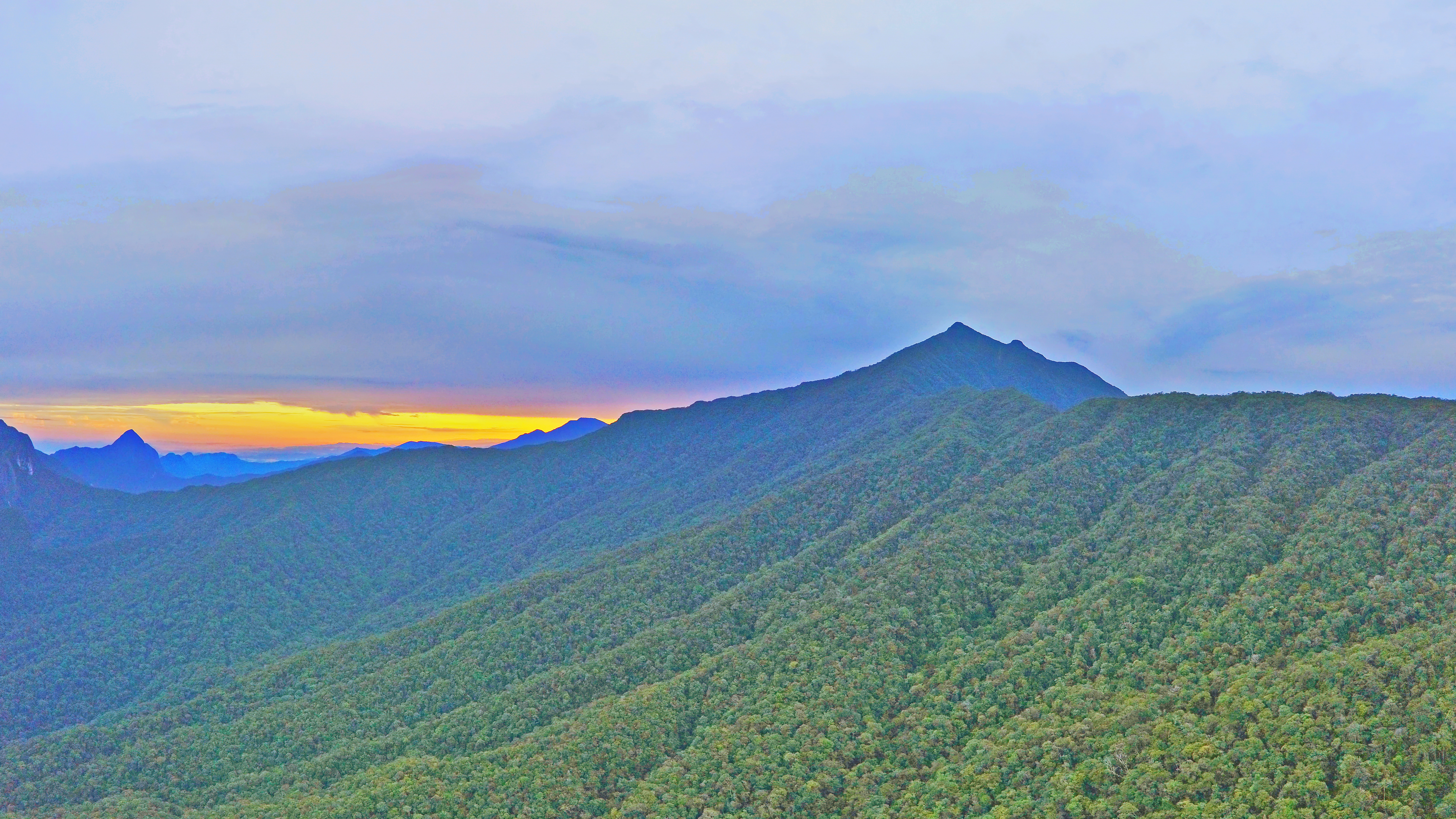
| DescriptionMount Mulu Summit in the evening.jpg |
English: Mount Mulu Summit |
||
| Date | |||
| Source | http://wilsonchin.blogspot.com/ | ||
| Author | Wilson Chin from Kuching, Sarawak | ||
| Permission (Reusing this file) |
|
| Camera location | 4° 02′ 21.7″ N, 114° 53′ 12.72″ E | View this and other nearby images on: OpenStreetMap |
|---|
Licensing
- You are free:
- to share – to copy, distribute and transmit the work
- to remix – to adapt the work
- Under the following conditions:
- attribution – You must give appropriate credit, provide a link to the license, and indicate if changes were made. You may do so in any reasonable manner, but not in any way that suggests the licensor endorses you or your use.
- share alike – If you remix, transform, or build upon the material, you must distribute your contributions under the same or compatible license as the original.
Captions
Items portrayed in this file
depicts
10 September 2018
4°2'21.700"N, 114°53'12.718"E
0.003125 second
2.2
4.73 millimetre
400
image/jpeg
File history
Click on a date/time to view the file as it appeared at that time.
| Date/Time | Thumbnail | Dimensions | User | Comment | |
|---|---|---|---|---|---|
| current | 13:02, 7 October 2018 | | 6,104 × 3,434 (7.01 MB) | Cerevisae | User created page with UploadWizard |
File usage
Global file usage
The following other wikis use this file:
- Usage on es.wikipedia.org
- Usage on it.wikipedia.org
- Usage on ta.wikipedia.org
Metadata
This file contains additional information, probably added from the digital camera or scanner used to create or digitize it.
If the file has been modified from its original state, some details may not fully reflect the modified file.
| Image title |
|
|---|---|
| Camera manufacturer | DJI |
| Camera model | FC220 |
| Exposure time | 1/320 sec (0.003125) |
| F-number | f/2.2 |
| ISO speed rating | 400 |
| Date and time of data generation | 06:22, 10 September 2018 |
| Lens focal length | 4.73 mm |
| Latitude | 4° 2′ 21.7″ N |
| Longitude | 114° 53′ 12.72″ E |
| Altitude | 1,628.513 meters above sea level |
| Orientation | Normal |
| Horizontal resolution | 72 dpi |
| Vertical resolution | 72 dpi |
| Software used | ACDSee Ultimate 2018 |
| File change date and time | 11:25, 26 September 2018 |
| Y and C positioning | Centered |
| Exposure Program | Manual |
| Exif version | 2.3 |
| Date and time of digitizing | 06:22, 10 September 2018 |
| Meaning of each component |
|
| Image compression mode | 3.6681753333333 |
| APEX aperture | 2.27 |
| Exposure bias | 0 |
| Maximum land aperture | 2.27 APEX (f/2.2) |
| Subject distance | 0 meters |
| Metering mode | Center weighted average |
| Light source | Cloudy weather |
| Flash | Flash did not fire, No flash function |
| DateTime subseconds | 485 |
| Supported Flashpix version | 0.1 |
| Color space | sRGB |
| File source | Digital still camera |
| Scene type | A directly photographed image |
| Custom image processing | Normal process |
| Exposure mode | Manual exposure |
| White balance | Manual white balance |
| Focal length in 35 mm film | 26 mm |
| Scene capture type | Standard |
| Scene control | None |
| Contrast | Soft |
| Saturation | High saturation |
| Sharpness | Hard |
| Subject distance range | Unknown |
| GPS tag version | 0.0.3.2 |
| Date metadata was last modified | 21:28, 21 September 2018 |
| Unique ID of original document | DF437BF3C6AAF2D155E8C22A3859FEE1 |