File:Navigation_system_on_a_merchant_ship.jpg
From Wikipedia, the free encyclopedia
No higher resolution available.
Navigation_system_on_a_merchant_ship.jpg (800 × 600 pixels, file size: 106 KB, MIME type: image/jpeg)
| This is a file from the Wikimedia Commons. Information from its description page there is shown below. Commons is a freely licensed media file repository. You can help. |
| DescriptionNavigation system on a merchant ship.jpg |
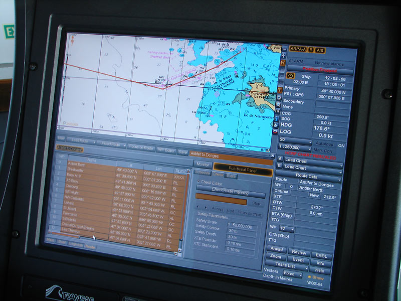
English: Navigation system used on an oil tanker : electronic chart.
Français : Système de navigation utilisé sur un pétrolier : carte électronique
Español: Sistema de navegación por satélite utilizado en un petrolero: carta naútica electrónicas |
| Source | http://www.marine-marchande.net/ |
| Author | Hervé Cozanet |
| Permission (Reusing this file) |
See below for the detail of the autorisation |
Source
Deutsch: Dieses Bild von Hervé Cozanet stammt von der Webseite marine-marchande.net. Bezüglich Freigabe siehe diese Genehmigung.
Français : Photographie d'Hervé Cozanet provenant du site Web marine-marchande.net. Voir l'autorisation correspondante.
Licensing:

|
Permission is granted to copy, distribute and/or modify this document under the terms of the GNU Free Documentation License, Version 1.2 or any later version published by the Free Software Foundation; with no Invariant Sections, no Front-Cover Texts, and no Back-Cover Texts. A copy of the license is included in the section entitled GNU Free Documentation License.http://www.gnu.org/copyleft/fdl.htmlGFDLGNU Free Documentation Licensetruetrue |
| This file is licensed under the Creative Commons Attribution-Share Alike 3.0 Unported license. | ||
| ||
| This licensing tag was added to this file as part of the GFDL licensing update.http://creativecommons.org/licenses/by-sa/3.0/CC BY-SA 3.0Creative Commons Attribution-Share Alike 3.0truetrue |
This file is licensed under the Creative Commons Attribution-Share Alike 2.0 France license.
- You are free:
- to share – to copy, distribute and transmit the work
- to remix – to adapt the work
- Under the following conditions:
- attribution – You must give appropriate credit, provide a link to the license, and indicate if changes were made. You may do so in any reasonable manner, but not in any way that suggests the licensor endorses you or your use.
- share alike – If you remix, transform, or build upon the material, you must distribute your contributions under the same or compatible license as the original.

Captions
Amaan qawetii
Items portrayed in this file
depicts
image/jpeg
File history
Click on a date/time to view the file as it appeared at that time.
| Date/Time | Thumbnail | Dimensions | User | Comment | |
|---|---|---|---|---|---|
| current | 15:03, 6 July 2006 | | 800 × 600 (106 KB) | Korrigan | == Description == {{English}}Navigation system used on an oil tanker : electronic chart. {{Français}} Système de navigation utilisé sur un pétrolier : carte électronique {{marine-marchande.net}} Category:Oil tankersCategory:Navigation |
File usage
The following pages on the English Wikipedia use this file (pages on other projects are not listed):
Global file usage
The following other wikis use this file:
- Usage on ast.wikipedia.org
- Usage on ca.wikipedia.org
- Usage on ckb.wikipedia.org
- Usage on eo.wikipedia.org
- Usage on es.wikipedia.org
- Usage on eu.wikipedia.org
- Usage on fr.wikipedia.org
- Usage on hi.wikipedia.org
- Usage on nl.wikipedia.org
- Usage on pt.wikipedia.org
- Usage on ru.wiktionary.org
- Usage on www.wikidata.org
Metadata
This file contains additional information, probably added from the digital camera or scanner used to create or digitize it.
If the file has been modified from its original state, some details may not fully reflect the modified file.
| _error | 0 |
|---|