File:Oceans_around_British_Isles_satellite_image_location_map.jpg
From Wikipedia, the free encyclopedia
Size of this preview: 496 × 599 pixels. Other resolutions: 199 × 240 pixels | 397 × 480 pixels | 636 × 768 pixels | 848 × 1,024 pixels | 1,654 × 1,998 pixels.
Original file (1,654 × 1,998 pixels, file size: 242 KB, MIME type: image/jpeg)
| This is a file from the Wikimedia Commons. Information from its description page there is shown below. Commons is a freely licensed media file repository. You can help. |
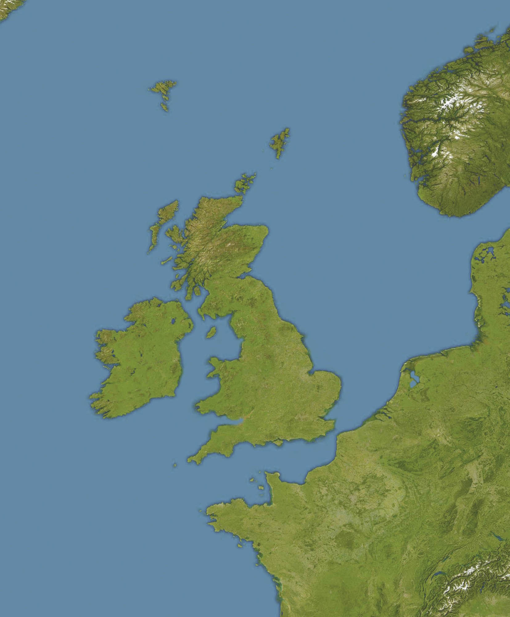
| DescriptionOceans around British Isles satellite image location map.jpg |
English: Location map of oceans around the United Kingdom and Ireland
Equirectangular projection, N/S stretching 150 %. Geographic limits of the map:
|
|||
| Date |
19 December 2008 |
|||
| Source |
Transferred from en.wikipedia |
|||
| Author | Original uploader was Bellhalla at en.wikipedia | |||
| Permission (Reusing this file) |
PD-AUTHOR. | |||
| Other versions |
|

Licensing
| Public domainPublic domainfalsefalse |
| This work has been released into the public domain by its author, Bellhalla at English Wikipedia. This applies worldwide. In some countries this may not be legally possible; if so: Bellhalla grants anyone the right to use this work for any purpose, without any conditions, unless such conditions are required by law.Public domainPublic domainfalsefalse |
Original upload log
The original description page was here. All following user names refer to en.wikipedia.
- 2008-12-19 17:59 Bellhalla 1654×1998× (247419 bytes) {{Information |Description={{en|Location map of oceans around the [[United Kingdom]] and [[Ireland]] Equirectangular projection, N/S stretching 150 %. Geographic limits of the map: * N: 65° N * S: 45° N * W: 15° W * E: 10° E }} |Source=own work, cropp
Captions
Add a one-line explanation of what this file represents
Items portrayed in this file
depicts
File history
Click on a date/time to view the file as it appeared at that time.
| Date/Time | Thumbnail | Dimensions | User | Comment | |
|---|---|---|---|---|---|
| current | 12:59, 5 June 2009 | | 1,654 × 1,998 (242 KB) | Obersachse | {{Information |Description={{en|''no original description''}} |Source=Transferred from [http://en.wikipedia.org en.wikipedia]<br/> (Original text : ''own work, cropped version of [[:en::File:Europe satellite image location map.jpg|]], which is a cropped a |
File usage
The following pages on the English Wikipedia use this file (pages on other projects are not listed):
- Action of 29 February 1916
- Anton Dohrn Seamount
- Hasselwood Rock
- Hebrides Terrace Seamount
- Heinz Schnabel and Harry Wappler escape attempt
- Helen's Reef
- MV Scantic
- RMS Alcantara (1913)
- Rescue of Roger Mallinson and Roger Chapman
- SS Almeda Star
- SS Arandora Star
- SS Assyrian (1914)
- SS Athenia (1922)
- SS Clan Matheson (1919)
- SS Creekirk
- SS Crown Arun
- SS Empire Adventure
- SS Empire Simba
- SS Gairsoppa
- SS Iserlohn (1909)
- SS Lambridge
- SS Leander (1925)
- SS Mohamed Ali El-Kebir
- SS Norjerv
- SS Oropesa (1919)
- SS Pengreep
- SS Stakesby (1930)
- SS Wairuna
- SS Western Maid
- Second Battle of Cape Finisterre
- Module:Location map/data/British Isles Oceans
- Module:Location map/data/British Isles Oceans/doc
Global file usage
The following other wikis use this file:
- Usage on ar.wikipedia.org
- Usage on ceb.wikipedia.org
- Usage on de.wikipedia.org
- Usage on eo.wikipedia.org
- Usage on fa.wikipedia.org
- Usage on ja.wikipedia.org
- Usage on kn.wikipedia.org
- Usage on pt.wikipedia.org
- Usage on si.wikipedia.org
- Usage on uk.wikipedia.org
- U-106 (1940)
- HMS Exmoor (L61)
- U-63 (1939)
- U-104 (1940)
- U-35 (1936)
- U-45 (1938)
- Шаблон:Карта розташування Моря навколо Британських островів
- Гюнтер Прін
- U-260
- U-36 (1936)
- U-261
- U-212
- U-242
- U-243
- U-214
- U-70 (1940)
- U-171
- HMS Codrington (D65)
- U-247
- U-246
- U-99 (1940)
- U-27 (1936)
- U-31 (1936)
- U-32 (1937)
- HMS Britomart (J22)
- HMCS Athabaskan (G07)
- HMS Hussar (J82)
- U-33 (1936)
- U-39 (1938)
- U-40 (1938)
- U-41 (1939)
- U-54 (1939)
- U-50 (1939)
- U-51 (1938)
- U-55 (1939)
View more global usage of this file.
Metadata
This file contains additional information, probably added from the digital camera or scanner used to create or digitize it.
If the file has been modified from its original state, some details may not fully reflect the modified file.
| Orientation | Normal |
|---|---|
| Horizontal resolution | 72 dpi |
| Vertical resolution | 72 dpi |
| Software used | Adobe Photoshop CS Macintosh |
| File change date and time | 11:47, 19 December 2008 |
| Color space | Uncalibrated |