File:Paradise_Cay,_Marin_County.jpg
From Wikipedia, the free encyclopedia
Original file (5,181 × 3,238 pixels, file size: 15.83 MB, MIME type: image/jpeg)
| This is a file from the Wikimedia Commons. Information from its description page there is shown below. Commons is a freely licensed media file repository. You can help. |
Summary
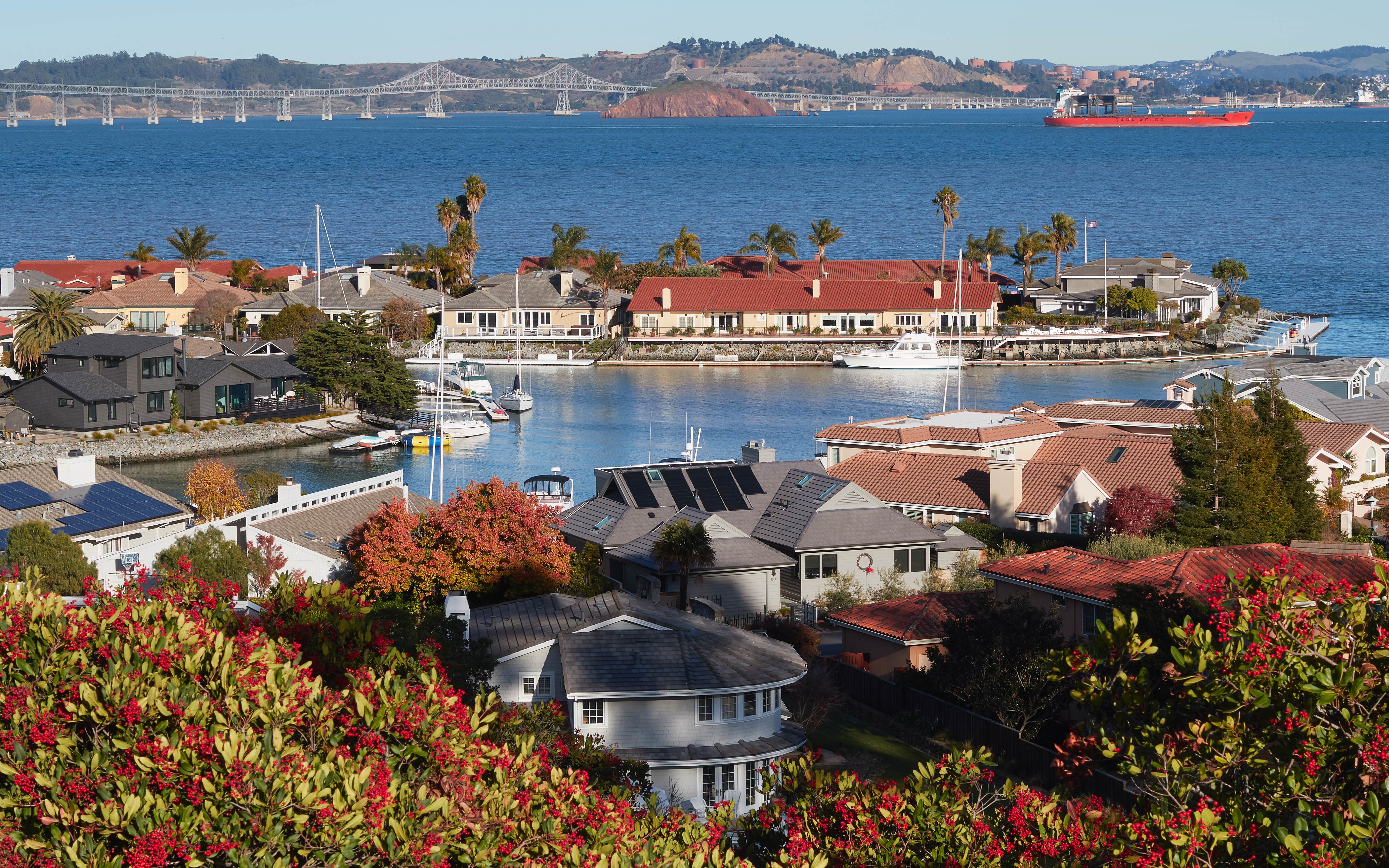
| DescriptionParadise Cay, Marin County.jpg |
English: View of Paradise Cay near Tiburon, Marin County, California |
| Date | |
| Source | Own work |
| Author | Frank Schulenburg |
| Camera location | 37° 54′ 28.36″ N, 122° 28′ 39.37″ W | View this and other nearby images on: OpenStreetMap |
|---|
Licensing
- You are free:
- to share – to copy, distribute and transmit the work
- to remix – to adapt the work
- Under the following conditions:
- attribution – You must give appropriate credit, provide a link to the license, and indicate if changes were made. You may do so in any reasonable manner, but not in any way that suggests the licensor endorses you or your use.
- share alike – If you remix, transform, or build upon the material, you must distribute your contributions under the same or compatible license as the original.
This image has been assessed using the Quality image guidelines and is considered a Quality image.
العربية ∙ جازايرية ∙ беларуская ∙ беларуская (тарашкевіца) ∙ български ∙ বাংলা ∙ català ∙ čeština ∙ Cymraeg ∙ Deutsch ∙ Schweizer Hochdeutsch ∙ Zazaki ∙ Ελληνικά ∙ English ∙ Esperanto ∙ español ∙ eesti ∙ euskara ∙ فارسی ∙ suomi ∙ français ∙ galego ∙ עברית ∙ हिन्दी ∙ hrvatski ∙ magyar ∙ հայերեն ∙ Bahasa Indonesia ∙ italiano ∙ 日本語 ∙ Jawa ∙ ქართული ∙ 한국어 ∙ kurdî ∙ Lëtzebuergesch ∙ lietuvių ∙ македонски ∙ മലയാളം ∙ मराठी ∙ Bahasa Melayu ∙ Nederlands ∙ Norfuk / Pitkern ∙ polski ∙ português ∙ português do Brasil ∙ rumantsch ∙ română ∙ русский ∙ sicilianu ∙ slovenčina ∙ slovenščina ∙ shqip ∙ српски / srpski ∙ svenska ∙ தமிழ் ∙ తెలుగు ∙ ไทย ∙ Tagalog ∙ Türkçe ∙ toki pona ∙ українська ∙ vèneto ∙ Tiếng Việt ∙ 中文 ∙ 中文(简体) ∙ 中文(繁體) ∙ +/− |
Captions
Elementi ritratti in questo file
depicts
Valore sconosciuto senza un elemento Wikidata
2 December 2016
37°54'28.361"N, 122°28'39.371"W
File history
Click on a date/time to view the file as it appeared at that time.
| Date/Time | Thumbnail | Dimensions | User | Comment | |
|---|---|---|---|---|---|
| current | 02:14, 3 December 2016 | | 5,181 × 3,238 (15.83 MB) | Frank Schulenburg | lens profile corrected |
| 01:51, 3 December 2016 |  | 5,181 × 3,238 (15.97 MB) | Frank Schulenburg | brightness toned down a bit | |
| 01:43, 3 December 2016 |  | 5,181 × 3,238 (16.1 MB) | Frank Schulenburg | brightness slightly adjusted | |
| 01:35, 3 December 2016 |  | 5,181 × 3,238 (15.88 MB) | Frank Schulenburg | User created page with UploadWizard |
File usage
Global file usage
The following other wikis use this file:
- Usage on an.wikipedia.org
- Usage on ar.wikipedia.org
- Usage on ast.wikipedia.org
- Usage on bg.wikipedia.org
- Usage on ca.wikipedia.org
- Usage on ce.wikipedia.org
- Usage on de.wikipedia.org
- Usage on eo.wikipedia.org
- Usage on es.wikipedia.org
- Usage on eu.wikipedia.org
- Usage on fa.wikipedia.org
- Usage on fr.wikipedia.org
- Usage on ht.wikipedia.org
- Usage on ilo.wikipedia.org
- Usage on it.wikipedia.org
- Usage on lij.wikipedia.org
- Usage on oc.wikipedia.org
- Usage on pap.wikipedia.org
- Usage on pl.wikipedia.org
- Usage on sw.wikipedia.org
- Usage on tt.wikipedia.org
- Usage on uk.wikipedia.org
- Usage on uz.wikipedia.org
- Usage on vec.wikipedia.org
- Usage on vi.wikipedia.org
- Usage on vo.wikipedia.org
- Usage on www.wikidata.org
Metadata
This file contains additional information, probably added from the digital camera or scanner used to create or digitize it.
If the file has been modified from its original state, some details may not fully reflect the modified file.
| Camera manufacturer | Canon |
|---|---|
| Camera model | Canon EOS 7D Mark II |
| Author | Frank Schulenburg |
| Copyright holder |
|
| Exposure time | 1/60 sec (0.016666666666667) |
| F-number | f/11 |
| ISO speed rating | 100 |
| Date and time of data generation | 14:42, 2 December 2016 |
| Lens focal length | 50 mm |
| Latitude | 37° 54′ 28.36″ N |
| Longitude | 122° 28′ 39.37″ W |
| Altitude | 19.1 meters above sea level |
| Horizontal resolution | 300 dpi |
| Vertical resolution | 300 dpi |
| Software used | Capture One 9 Macintosh |
| Exposure Program | Manual |
| Exif version | 2.3 |
| Date and time of digitizing | 14:42, 2 December 2016 |
| Shutter speed | 5.906891 |
| APEX aperture | 6.918863 |
| Exposure bias | 0 |
| Subject distance | 0 meters |
| Metering mode | Pattern |
| Flash | Flash did not fire, compulsory flash suppression |
| DateTimeOriginal subseconds | 00 |
| DateTimeDigitized subseconds | 00 |
| Focal plane X resolution | 6,086.7631835938 |
| Focal plane Y resolution | 6,090.150390625 |
| Focal plane resolution unit | inches |
| File source | Digital still camera |
| Scene type | A directly photographed image |
| Custom image processing | Normal process |
| Exposure mode | Manual exposure |
| White balance | Auto white balance |
| Scene capture type | Standard |
| GPS tag version | 2.3.0.0 |
| GPS date | 22:44, 2 December 2016 |
| Satellites used for measurement | 25 |
| Receiver status | Measurement in progress |
| Measurement mode | 2-dimensional measurement |
| Measurement precision | Poor (4) |
| Geodetic survey data used | WGS-84 |
| Serial number of camera | 058021011142 |
| Lens used | Sigma 50mm F1.4 DG HSM | A (Canon EF) |
| Keywords |
|
| IIM version | 4 |