File:San_Diego-Tijuana_JPLLandsat.jpg
From Wikipedia, the free encyclopedia
Size of this preview: 800 × 504 pixels. Other resolutions: 320 × 201 pixels | 640 × 403 pixels | 1,150 × 724 pixels.
Original file (1,150 × 724 pixels, file size: 174 KB, MIME type: image/jpeg)
| This is a file from the Wikimedia Commons. Information from its description page there is shown below. Commons is a freely licensed media file repository. You can help. |
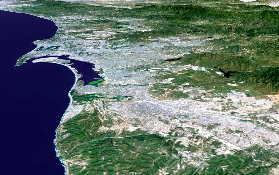
| DescriptionSan Diego-Tijuana JPLLandsat.jpg | 3-D perspective image of the San Diego-Tijuana area from NASA's Shuttle Radar Topography Mission (SRTM) | ||||||
| Date | |||||||
| Source | http://photojournal.jpl.nasa.gov/catalog/PIA03330 | ||||||
| Author |
NASA/JPL/NIMA
|
||||||
| Permission (Reusing this file) |
|


Captions
3-D perspective of the San Diego-Tijuana area
Items portrayed in this file
depicts
February 2000
File history
Click on a date/time to view the file as it appeared at that time.
| Date/Time | Thumbnail | Dimensions | User | Comment | |
|---|---|---|---|---|---|
| current | 08:59, 4 April 2011 | | 1,150 × 724 (174 KB) | 08OceanBeach SD | auto contrast |
| 07:28, 30 May 2007 |  | 1,150 × 724 (162 KB) | Zzyzx11 | {{Information |Description=3-D perspective image of the San Diego-Tijuana area from NASA's Shuttle Radar Topography Mission (SRTM) |Source=http://photojournal.jpl.nasa.gov/catalog/PIA03330 |Date=February 2000 |Author=NASA/JPL/NIMA<br>{{SpaceShuttle}} |Per |
File usage
The following pages on the English Wikipedia use this file (pages on other projects are not listed):
Global file usage
The following other wikis use this file:
- Usage on ar.wikipedia.org
- Usage on ban.wikipedia.org
- Usage on bn.wikipedia.org
- Usage on fr.wikipedia.org
- Usage on he.wikipedia.org
- Usage on hu.wikipedia.org
- Usage on id.wikipedia.org
- Usage on jv.wikipedia.org
- Usage on nv.wikipedia.org
- Usage on pt.wikipedia.org
- Usage on ro.wikipedia.org
- Usage on te.wikipedia.org
- Usage on tr.wikipedia.org
- Usage on vi.wikipedia.org
- Usage on zh.wikipedia.org
Metadata
This file contains additional information, probably added from the digital camera or scanner used to create or digitize it.
If the file has been modified from its original state, some details may not fully reflect the modified file.
| Software used | Picasa |
|---|---|
| Exif version | 2.2 |
| Unique image ID | 3a1c721e04ec7aba341d38db3bccb1b9 |
Retrieved from "https://en.wikipedia.org/wiki/File:San_Diego-Tijuana_JPLLandsat.jpg"