File:Saudi_Arabia_relief_location_map.jpg
From Wikipedia, the free encyclopedia
Original file (2,003 × 1,668 pixels, file size: 1.67 MB, MIME type: image/jpeg)
| This is a file from the Wikimedia Commons. Information from its description page there is shown below. Commons is a freely licensed media file repository. You can help. |
| DescriptionSaudi Arabia relief location map.jpg |
العربية: خريطة مواقع السعودية.
إسقاط متساوي المستطيلات (الإسقاط الجغرافي)، شمال / جنوب امتداد 110٪. الحدود الجغرافية للخريطة:
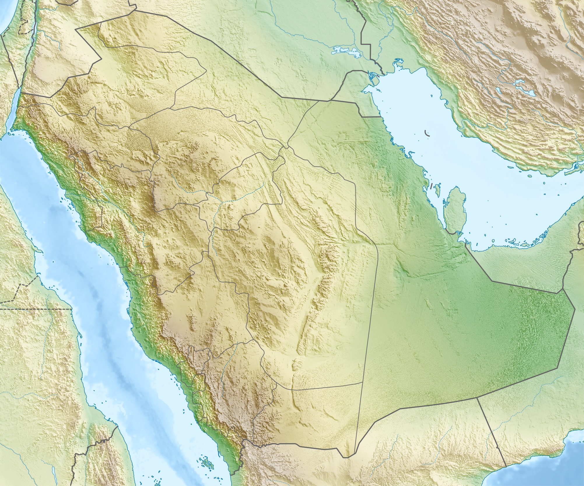
Deutsch: Physische Positionskarte von Saudi-Arabien
Quadratische Plattkarte, N-S-Streckung 110 %. Geographische Begrenzung der Karte:
English: Physical location map of Saudi Arabia
Equirectangular projection, N/S stretching 110 %. Geographic limits of the map:
|
|||
| Date | ||||
| Source | Own work, using map data from administrative map by NordNordWest. The relief was created from SRTM-30 relief data. | |||
| Author | Carport | |||
| Permission (Reusing this file) |
This file is licensed under the Creative Commons Attribution-Share Alike 3.0 Unported license.
|
|||
| Other versions |
|
.jpg)

 | This image was uploaded in the JPEG format even though it consists of non-photographic data. This information could be stored more efficiently or accurately in the PNG or SVG format. If possible, please upload a PNG or SVG version of this image without compression artifacts, derived from a non-JPEG source (or with existing artifacts removed). After doing so, please tag the JPEG version with {{Superseded|NewImage.ext}} and remove this tag. This tag should not be applied to photographs or scans. If this image is a diagram or other image suitable for vectorisation, please tag this image with {{Convert to SVG}} instead of {{BadJPEG}}. If not suitable for vectorisation, use {{Convert to PNG}}. For more information, see {{BadJPEG}}. |  |
Captions
Items portrayed in this file
depicts
16 May 2010
image/jpeg
File history
Click on a date/time to view the file as it appeared at that time.
| Date/Time | Thumbnail | Dimensions | User | Comment | |
|---|---|---|---|---|---|
| current | 17:28, 16 May 2010 | | 2,003 × 1,668 (1.67 MB) | Carport | {{Information |Description={{de|Physische Positionskarte von {{w|Saudi-Arabien|3=de}}}} Quadratische Plattkarte, N-S-Streckung 110 %. Geographische Begrenzung der Karte: * N: 32.5° N * S: 16.0° N * W: 34.2° O * O: 56.0° O {{en|Physical location map of |
File usage
More than 100 pages use this file. The following list shows the first 100 pages that use this file only. A full list is available.
- 'Uruq Bani Ma'arid
- Abha International Airport
- Abqaiq oil field
- Abu Qubays (mountain)
- Al-Abwa'
- Al-Ahsa International Airport
- Al-Ahsa Oasis
- Al-Baha Domestic Airport
- Al-Magar
- Al-Manifa
- Al-Namas
- Al-Ula
- Al-Wadiah War
- Al Bahah
- Al Jouf Airport
- Al Khayf
- Al Qaisumah/Hafr Al Batin Airport
- Al Wajh Domestic Airport
- Anbariya Mosque
- Arar Domestic Airport
- Asir Mountains
- Battle of Badr
- Battle of Fakhkh
- Battle of Khaybar
- Battle of Uhud
- Battle of al-Harra
- Battle of the Trench
- Bay'ah Mosque
- Baysh Dam
- Bisha Domestic Airport
- Conquest of Mecca
- Dawadmi
- Dawadmi Domestic Airport
- Dumat al-Jandal
- Farasan Island
- Farasan Islands
- Ghawar Field
- Green Dome
- Gurayat Domestic Airport
- Ha'il Regional Airport
- Hali Dam
- Harrat Khaybar
- Hijaz Mountains
- Imam Turki bin Abdullah Mosque
- Jabal Atherb
- Jabal Natfa'
- Jabal Soudah
- Jabal Thawr
- Jabal Umm Hayfā'
- Jabal al-Lawz
- Jabal al-Nour
- Jabal an Nukhaylah
- Jabal ʽUmayyid
- Jawatha Mosque
- Jeddah
- Jizan Dam
- Jizan Regional Airport
- Kaaba
- Khurais oil field
- Khuzam Palace
- King Abdulaziz Air Base
- King Abdulaziz Historical Center
- King Fahad Dam
- King Khaled Military City Airport
- King Khalid International Airport
- King Saud Mosque
- Layla (town)
- Masjid Al-Taneem
- Masjid al-Haram
- Masjid al-Qiblatayn
- Medina
- Midian
- Mina, Saudi Arabia
- Mosque of Atban Bin Malik
- Mosque of Bani Haram
- Mount Arafat
- Mount Uhud
- Murwani Dam
- Muzdalifah
- Najran Valley Dam
- Nakhla (Saudi Arabia)
- Prophet's Mosque
- Qatif and Dammam mosque bombings
- Rabigh Dam
- Rafha Domestic Airport
- Riyadh
- Rock Art in the Ha'il Region
- Safa and Marwa
- Sarawat Mountains
- Sharurah Domestic Airport
- Shaybah oil field
- Siege of Mecca (683)
- Simon Cumbers
- Sitae Alhven Dam
- Taif
- Tayma
- Turaif Domestic Airport
- Umm Al Melh Border Guards Airport
- Uyayna
- Wadi al-Dawasir Domestic Airport
View more links to this file.
Global file usage
The following other wikis use this file:
- Usage on ace.wikipedia.org
- Usage on als.wikipedia.org
- Usage on ar.wikipedia.org
- حقل الغوار
- جرول
- معمل غاز حرض
- متنزه الأحساء الوطني
- سد وادي جازان
- سد وادي بيش
- الحرب العثمانية السعودية
- مستخدم:عبد المؤمن/مسودات/خرائط/السعودية
- محطة الشعيبة لتحلية المياه المالحة وتوليد الطاقة الكهربائية
- محطة رأس الخير لتحلية المياه وإنتاج الطاقة
- منفذ جديدة عرعر (السعودية)
- متنزه الغاط الوطني (السعودية)
- عين حنين
- انفجار الناقلة الإيرانية سبتي 2019
- كأس خادم الحرمين الشريفين 2023–24
- Usage on ast.wikipedia.org
- Usage on av.wikipedia.org
- Usage on azb.wikipedia.org
- Usage on az.wikipedia.org
- Usage on bar.wikipedia.org
- Usage on ba.wikipedia.org
View more global usage of this file.
Metadata
This file contains additional information, probably added from the digital camera or scanner used to create or digitize it.
If the file has been modified from its original state, some details may not fully reflect the modified file.
| _error | 0 |
|---|