File:Victoria_LGA_types.png
From Wikipedia, the free encyclopedia
Size of this preview: 434 × 599 pixels. Other resolutions: 174 × 240 pixels | 347 × 480 pixels.
Original file (800 × 1,105 pixels, file size: 116 KB, MIME type: image/png)
| This is a file from the Wikimedia Commons. Information from its description page there is shown below. Commons is a freely licensed media file repository. You can help. |

|
File:Australia Victoria location map colored by type.svg is a vector version of this file. It should be used in place of this PNG file when not inferior.
File:Victoria LGA types.png → File:Australia Victoria location map colored by type.svg
For more information, see Help:SVG.
|
 |
Summary
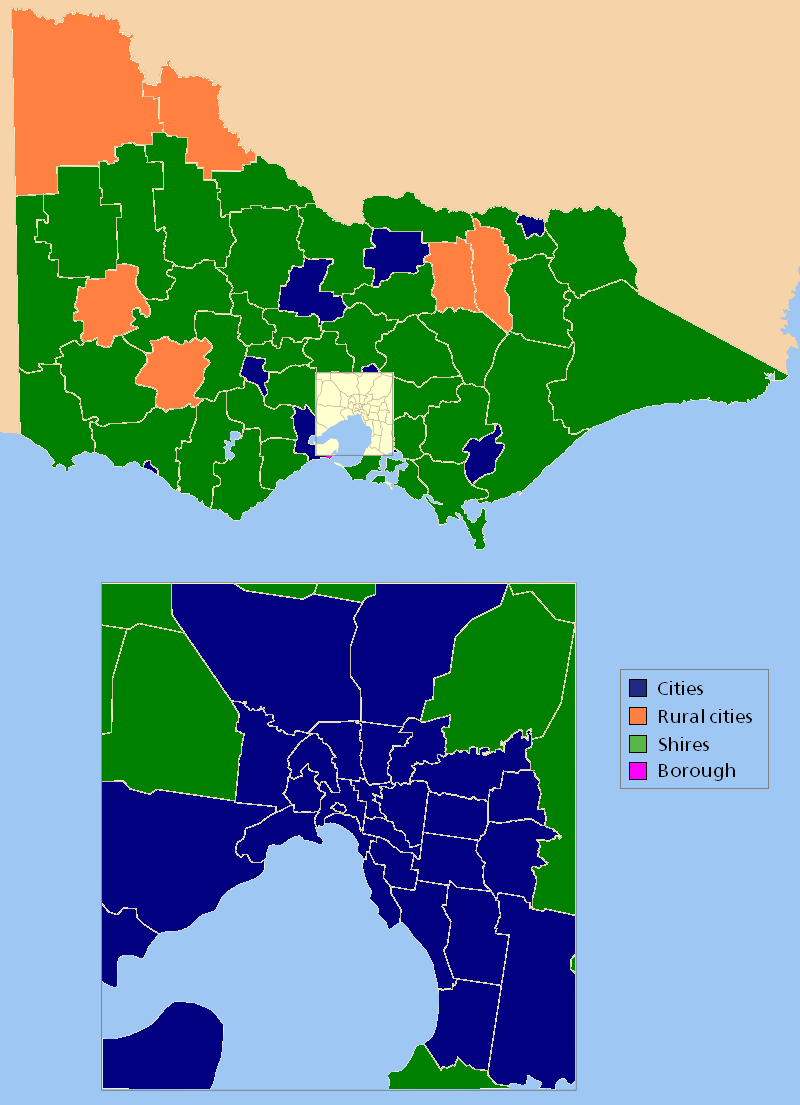
Types of Local Government Areas in Victoria
Licensing
I, the copyright holder of this work, hereby publish it under the following license:

|
Permission is granted to copy, distribute and/or modify this document under the terms of the GNU Free Documentation License, Version 1.2 or any later version published by the Free Software Foundation; with no Invariant Sections, no Front-Cover Texts, and no Back-Cover Texts. A copy of the license is included in the section entitled GNU Free Documentation License.http://www.gnu.org/copyleft/fdl.htmlGFDLGNU Free Documentation Licensetruetrue |
| This file is licensed under the Creative Commons Attribution-Share Alike 3.0 Unported license. | ||
| ||
| This licensing tag was added to this file as part of the GFDL licensing update.http://creativecommons.org/licenses/by-sa/3.0/CC BY-SA 3.0Creative Commons Attribution-Share Alike 3.0truetrue |
derivative works
Derivative works of this file: Australia Victoria location map colored by type.svg
Captions
Add a one-line explanation of what this file represents
Items portrayed in this file
depicts
File history
Click on a date/time to view the file as it appeared at that time.
| Date/Time | Thumbnail | Dimensions | User | Comment | |
|---|---|---|---|---|---|
| current | 13:33, 18 March 2007 | | 800 × 1,105 (116 KB) | Roke~commonswiki | +borough of queenscliffe |
| 09:56, 8 March 2007 |  | 800 × 1,105 (115 KB) | Roke~commonswiki | Types of Local Government Areas in Victoria {{Aus LGA maps}} Category:Maps of Victoria Category:Maps of Local Government Areas in Australia |
File usage
No pages on the English Wikipedia use this file (pages on other projects are not listed).
Retrieved from "https://en.wikipedia.org/wiki/File:Victoria_LGA_types.png"