File:Western_Europe_World_Heritage_Sites.png
From Wikipedia, the free encyclopedia
Size of this preview: 800 × 589 pixels. Other resolutions: 320 × 236 pixels | 640 × 471 pixels | 1,024 × 754 pixels | 1,130 × 832 pixels.
Original file (1,130 × 832 pixels, file size: 174 KB, MIME type: image/png)
| This is a file from the Wikimedia Commons. Information from its description page there is shown below. Commons is a freely licensed media file repository. You can help. |
Summary
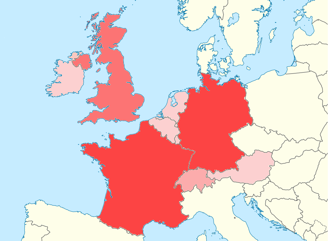
| DescriptionWestern Europe World Heritage Sites.png |
Deutsch: Positionskarte Europa; Politisch mit Staatsgrenzen; Flächentreue Azimutalprojektion English: Location map Europe; Political with state boundaries; Lambert azimuthal equal-area projection * Projection: LAEA Europe, EPSG:3035 * Longitude of projection center: 10° E * Latitude of projection center: 52° N * Map extent (LAEA Europe) Xmin,Ymin to Xmax, Ymax: 2555000, 1350000 to 7405000, 5500000 * Map extent (WGS84) (lon,lat of lower left and upper right corner): -8.9067, 33.2307 to 72.9617, 58.9174 |
| Date | (UTC) |
| Source |
This file was derived from: Europe blank laea location map.svg: |
| Author |
|
| This is a retouched picture, which means that it has been digitally altered from its original version. Modifications: cut image down to only show Western Europe. Added colors based on number of UNESCO World Heritage Sites. The original can be viewed here: Europe blank laea location map.svg:
|
Licensing
I, the copyright holder of this work, hereby publish it under the following license:
This file is licensed under the Creative Commons Attribution-Share Alike 3.0 Unported license.
- You are free:
- to share – to copy, distribute and transmit the work
- to remix – to adapt the work
- Under the following conditions:
- attribution – You must give appropriate credit, provide a link to the license, and indicate if changes were made. You may do so in any reasonable manner, but not in any way that suggests the licensor endorses you or your use.
- share alike – If you remix, transform, or build upon the material, you must distribute your contributions under the same or compatible license as the original.
Original upload log
This image is a derivative work of the following images:
- File:Europe_blank_laea_location_map.svg licensed with Cc-by-sa-3.0
- 2010-03-11T20:50:37Z Alexrk2 1401x1198 (1928257 Bytes) fixing inland water
- 2010-03-11T19:58:40Z Alexrk2 1401x1198 (1920292 Bytes) == Summary == {{Information |Description= {{de|Positionskarte [[:de:Europa|Europa]]; Politisch mit Staatsgrenzen; Flächentreue Azimutalprojektion}} {{en|Location map [[:en:Europe|Europe]]; Political with state boundaries; La
Uploaded with derivativeFX
Captions
Add a one-line explanation of what this file represents
Items portrayed in this file
depicts
23 February 2012
File history
Click on a date/time to view the file as it appeared at that time.
| Date/Time | Thumbnail | Dimensions | User | Comment | |
|---|---|---|---|---|---|
| current | 21:03, 23 February 2012 | | 1,130 × 832 (174 KB) | Tobyc75 | == {{int:filedesc}} == {{Information |Description={{de|Positionskarte Europa; Politisch mit Staatsgrenzen; Flächentreue Azimutalprojektion}} {{en|Location map Europe; Political with state boundaries; Lambert azimuthal equ... |
File usage
No pages on the English Wikipedia use this file (pages on other projects are not listed).
Global file usage
The following other wikis use this file:
- Usage on ar.wikipedia.org
- Usage on ceb.wikipedia.org
- Usage on da.wikipedia.org
- Usage on fa.wikipedia.org
- Usage on kn.wikipedia.org
- Usage on tr.wikipedia.org
- Usage on war.wikipedia.org
Metadata
This file contains additional information, probably added from the digital camera or scanner used to create or digitize it.
If the file has been modified from its original state, some details may not fully reflect the modified file.
| Horizontal resolution | 37.79 dpc |
|---|---|
| Vertical resolution | 37.79 dpc |